File:Neumarkt Karte 1895.png
Jump to navigation
Jump to search
No higher resolution available.
Neumarkt_Karte_1895.png (587 × 533 pixels, file size: 681 KB, MIME type: image/png)
Captions
Captions
Add a one-line explanation of what this file represents
Summary
[edit]
| Description |
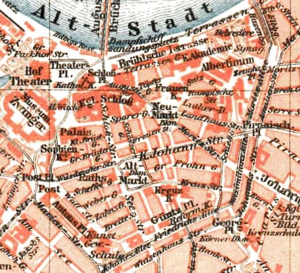
English: Neumarkt and Altmarkt in Dresden in 1895
Deutsch: Innere Altstadt von Dresden 1895 |
| Date | |
| Source | based upon the map Dresden Map 1895 |
| Author | Meyers Konversationslexikon (1893-97) |
| Permission (Reusing this file) |
Public Domain |
Licensing
[edit]
| This image comes from the 5th edition of Meyers Konversationslexikon (1893-97). The copyrights have expired and this image is in the public domain. | 
|
This work was published before January 1, 1899 and it is anonymous or pseudonymous due to unknown authorship. It is in the public domain in the United States as well as countries and areas where the copyright terms of anonymous or pseudonymous works are 125 years or fewer since publication.
|
File history
Click on a date/time to view the file as it appeared at that time.
| Date/Time | Thumbnail | Dimensions | User | Comment | |
|---|---|---|---|---|---|
| current | 09:26, 7 December 2006 | | 587 × 533 (681 KB) | Geo-Loge~commonswiki (talk | contribs) | {{Information |Description=Neumarkt and Altmarkt in Dresden in 1895 |Source=based upon the map Dresden Map 1895 |Date=1897 |Author=Meyers Konversationslexikon (1893-97) |Permission=Public Domain }} ==Licence== {{PD-Meyers- |
You cannot overwrite this file.
File usage on Commons
The following page uses this file:
File usage on other wikis
The following other wikis use this file:
- Usage on de.wikipedia.org
Categories:
- Innere Altstadt (Dresden)
- 19th-century maps of Dresden
- 1895 in Dresden
- Sporergasse, Dresden
- Kleine Brüdergasse, Dresden
- Große Brüdergasse, Dresden
- Webergasse, Dresden
- Scheffelgasse, Dresden
- Zahnsgasse
- Hasenberg, Dresden
- Große Packhofstraße, Dresden
- Breite Straße, Dresden
- Waisenhausstraße, Dresden
- Bankstraße, Dresden
- Carusstraße, Dresden
- Kreuzstraße, Dresden
- Große Frohngasse, Dresden
- Amalienstraße, Dresden