File:Norwegian Sea map-da.png
Jump to navigation
Jump to search
Size of this preview: 657 × 600 pixels. Other resolutions: 263 × 240 pixels | 526 × 480 pixels | 1,000 × 913 pixels.
Original file (1,000 × 913 pixels, file size: 356 KB, MIME type: image/png)
Captions
Captions
Add a one-line explanation of what this file represents
Summary
[edit]| Description |
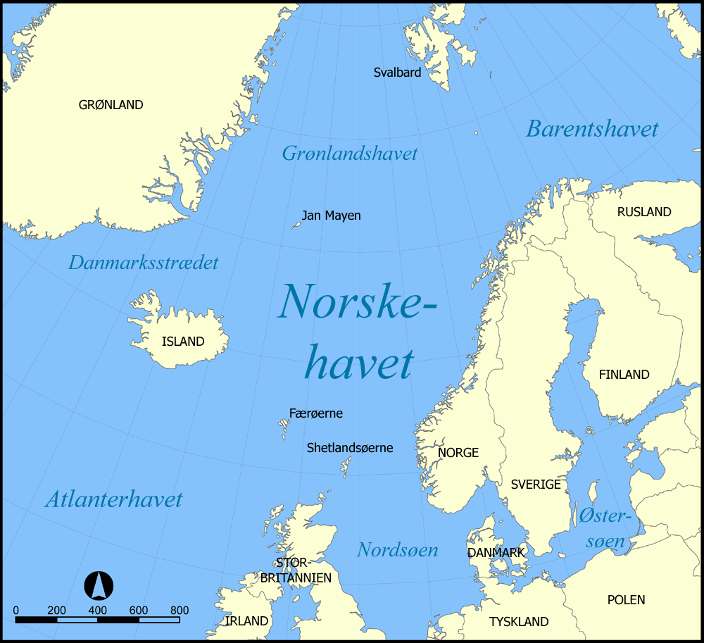
Dansk: Dansk version af Image:Norwegian_Sea_map.png, lavet udfra Image:Norwegian_Sea_blank_map.png English:Danish version of Image:Norwegian_Sea_map.png, derived from Image:Norwegian_Sea_blank_map.png |
| Date | Blank map uploaded October 31, 2005; localised version uploaded December 29, 2006. |
| Source | Image:Norwegian_Sea_map.png |
| Author | User:NormanEinstein, localised by User:AB-me |
| Permission (Reusing this file) |
"Feel free to label a copy of this map for use in other language editions of the Wikipedia" (Creators' quote) |
| Other versions |
[]
|


Licensing
[edit]

|
Permission is granted to copy, distribute and/or modify this document under the terms of the GNU Free Documentation License, Version 1.2 or any later version published by the Free Software Foundation; with no Invariant Sections, no Front-Cover Texts, and no Back-Cover Texts. A copy of the license is included in the section entitled GNU Free Documentation License. |
| This file is licensed under the Creative Commons Attribution-Share Alike 3.0 Unported license. | ||
| ||
| This licensing tag was added to this file as part of the GFDL licensing update. |
File history
Click on a date/time to view the file as it appeared at that time.
| Date/Time | Thumbnail | Dimensions | User | Comment | |
|---|---|---|---|---|---|
| current | 02:46, 29 December 2006 | | 1,000 × 913 (356 KB) | AB-me (talk | contribs) | {{Information |Description='''Dansk:''' Dansk version af Image:Norwegian_Sea_map.png, lavet udfra Image:Norwegian_Sea_blank_map.png<br />'''English:'''Danish version of Image:Norwegian_Sea_map.png, derived from [[:Image:Norwegian_Sea_blank_ |
You cannot overwrite this file.
File usage on Commons
The following 29 pages use this file:
- File:Bahari ya Barents.png
- File:Barents Sea map.png
- File:Barents Sea map GR.png
- File:Barents Sea map hr.svg
- File:Barents Sea map hu.svg
- File:Barents Sea map ru.svg
- File:Barents sea map blank.png
- File:Barents sea map de.png
- File:Barents sp.png
- File:Carte de la mer de Norvège-Jan-Mayen-localisation.png
- File:Carte de la mer de Norvège.png
- File:Karte Europäisches Nordmeer.png
- File:Norra meri.png
- File:Norveško more.svg
- File:Norvég-tenger térkép 2.png
- File:Norvég tenger térkép.png
- File:Norwegian Sea blank map.png
- File:Norwegian Sea map-da.png
- File:Norwegian Sea map.png
- File:Norwegian Sea map ce.svg
- File:Norwegian Sea map ch.png
- File:Norwegian Sea map cs.png
- File:Norwegian Sea map it.png
- File:Norwegian Sea map mk.svg
- File:Norwegian Sea map no.png
- File:Norwegian Sea map ru.svg
- File:Norwegian Sea map sv.png
- File:Norwegian Sea map uk.svg
- Template:Other versions/Norwegian Sea
File usage on other wikis
The following other wikis use this file:
- Usage on da.wikipedia.org
- Usage on da.wiktionary.org
- Usage on nn.wikipedia.org
- Usage on no.wikipedia.org
- Usage on sv.wikipedia.org