File:Ok-74 path.png
Jump to navigation
Jump to search
Size of this preview: 800 × 471 pixels. Other resolutions: 320 × 188 pixels | 640 × 376 pixels | 1,024 × 602 pixels | 1,280 × 753 pixels | 2,560 × 1,506 pixels | 3,507 × 2,063 pixels.
Original file (3,507 × 2,063 pixels, file size: 172 KB, MIME type: image/png)
Captions
Captions
Add a one-line explanation of what this file represents
Legend
[edit]| Roads | Borders | ||||||||||||||
|---|---|---|---|---|---|---|---|---|---|---|---|---|---|---|---|
|
|
Summary
[edit]
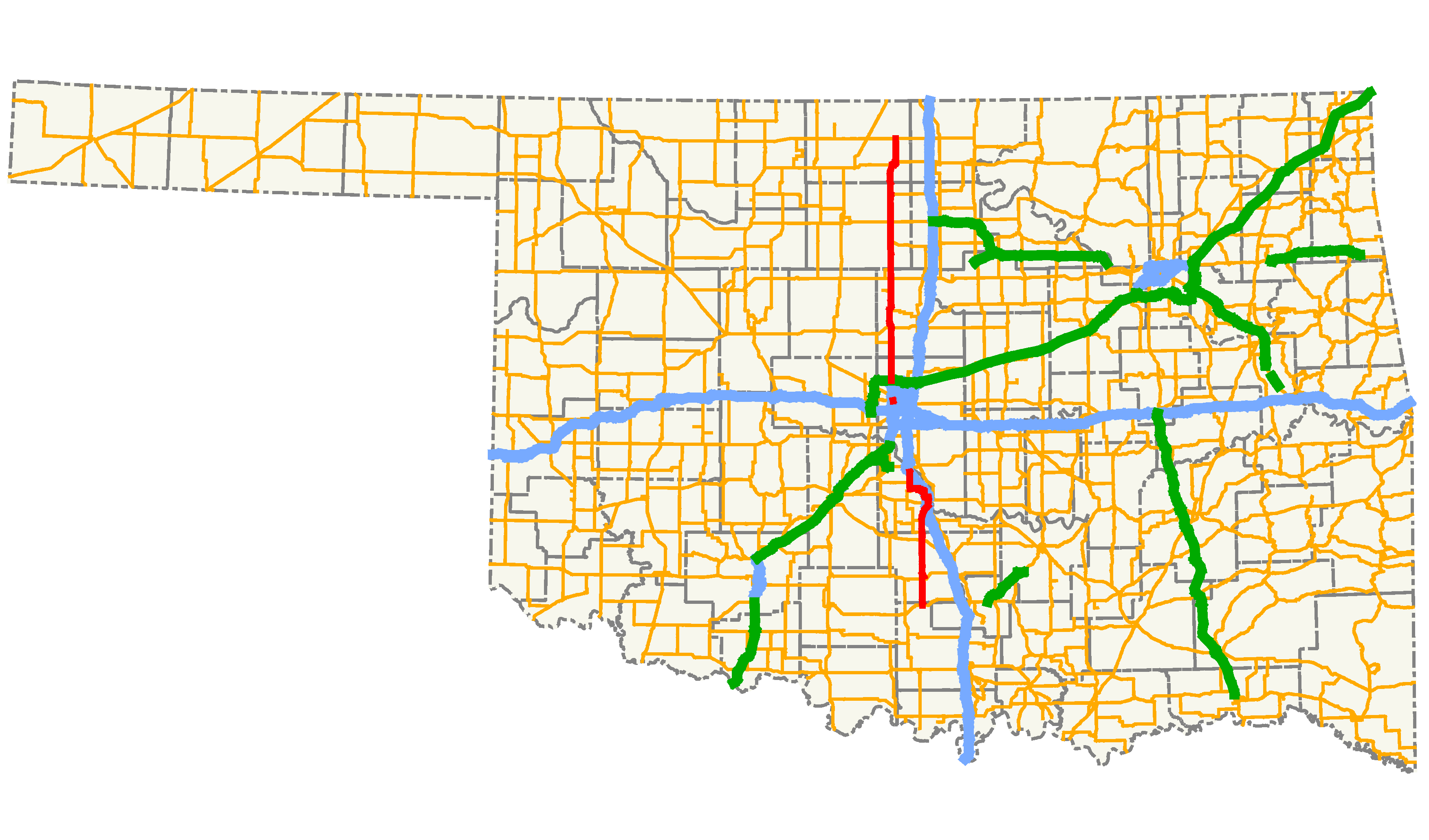
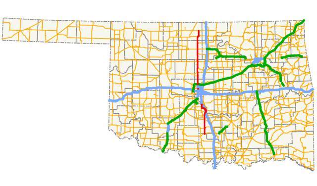
| Description | A map showing the path of State Highway 74 and its spurs in Oklahoma. |
| Date | |
| Source |
Created by me in Quantum GIS 0.8.0 based on data collected from http://www.geo.ou.edu/. |
| Author | Scott Nazelrod |
| Permission (Reusing this file) |
Public domain, credit appreciated but not required |
Licensing
[edit]
| I, the copyright holder of this work, release this work into the public domain. This applies worldwide. In some countries this may not be legally possible; if so: I grant anyone the right to use this work for any purpose, without any conditions, unless such conditions are required by law. |
File history
Click on a date/time to view the file as it appeared at that time.
| Date/Time | Thumbnail | Dimensions | User | Comment | |
|---|---|---|---|---|---|
| current | 06:15, 6 April 2013 | | 3,507 × 2,063 (172 KB) | Scott5114 (talk | contribs) | Crop to 1.7:1 aspect ratio |
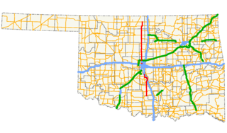
| 01:07, 16 October 2007 |  | 3,507 × 2,480 (178 KB) | Scott5114 (talk | contribs) | thicken lines, rm background | |
| 09:46, 15 October 2007 |  | 3,507 × 2,480 (145 KB) | Scott5114 (talk | contribs) | New version showing freeways and the rest of the state (for context) | |
| 19:04, 13 December 2006 |  | 944 × 789 (68 KB) | Scott5114 (talk | contribs) | {{Information |Description=A map showing the path of State Highway 74 and its spurs in Oklahoma. |Source=Created by me in Quantum GIS 0.8.0 based on data collected from http://www.geo.ou.edu/. |Date=12 December [[2006] |
You cannot overwrite this file.
File usage on Commons
The following 2 pages use this file:
File usage on other wikis
The following other wikis use this file:
- Usage on www.wikidata.org