File:Quebec South relief location map.jpg
Jump to navigation
Jump to search
Size of this preview: 800 × 341 pixels. Other resolutions: 320 × 137 pixels | 640 × 273 pixels | 1,024 × 437 pixels | 2,205 × 941 pixels.
Original file (2,205 × 941 pixels, file size: 1.15 MB, MIME type: image/jpeg)
Captions
Captions
Add a one-line explanation of what this file represents
| Description |
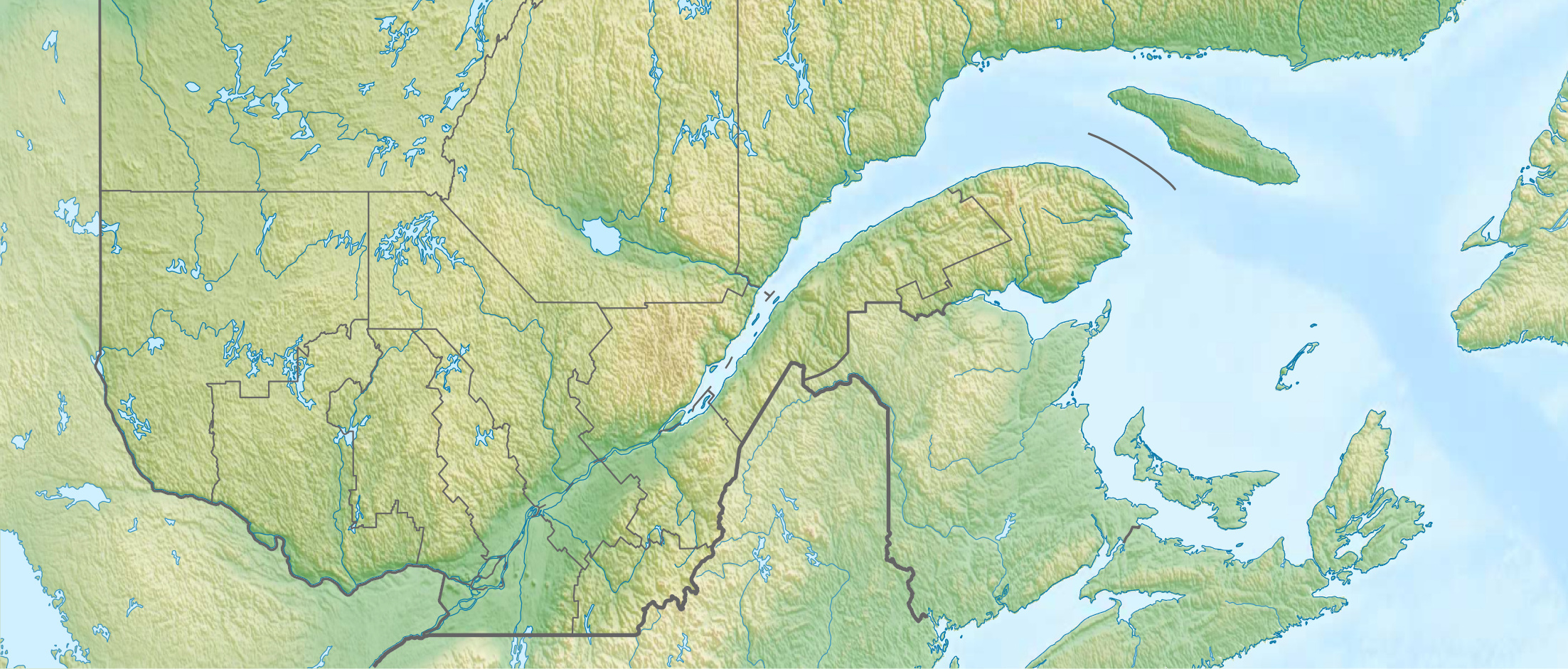
Quadratische Plattkarte, N-S-Streckung 165 %. Geographische Begrenzung der Karte:
Equirectangular projection, N/S stretching 165 %. Geographic limits of the map:
|
| Date | |
| Source |
Own work, using
|
| Author | Carport |
| Permission (Reusing this file) |
This file is licensed under the Creative Commons Attribution-Share Alike 3.0 Unported license.
|
| Other versions |
|


File history
Click on a date/time to view the file as it appeared at that time.
| Date/Time | Thumbnail | Dimensions | User | Comment | |
|---|---|---|---|---|---|
| current | 19:48, 4 June 2021 | | 2,205 × 941 (1.15 MB) | P199 (talk | contribs) | File:Canada Quebec relief location map.jpg cropped 5 % horizontally, 67 % vertically using CropTool with precise mode. |
You cannot overwrite this file.
File usage on Commons
The following page uses this file:
File usage on other wikis
The following other wikis use this file:
- Usage on en.wikipedia.org
- Central Canada
- Stade Canac
- Noire River (Ottawa River tributary)
- Coulonge River
- Stade Quillorama
- Jarry Park Stadium
- Lac des Pins (Aumond, Quebec)
- Julien Morin Stadium
- Module:Location map/data/Quebec South
- Module:Location map/data/Quebec South/doc
- English River (Chateauguay River tributary)
- Kiamika River
- Lac des Écorces (Antoine-Labelle)
- Désert River
- Philemon Island
- Usage on fr.wikipedia.org
- Usage on si.wikipedia.org
- Usage on uz.wikipedia.org