File:RON ziemia chełmska map.svg
Jump to navigation
Jump to search

Size of this PNG preview of this SVG file: 685 × 599 pixels. Other resolutions: 274 × 240 pixels | 549 × 480 pixels | 878 × 768 pixels | 1,170 × 1,024 pixels | 2,341 × 2,048 pixels | 1,000 × 875 pixels.
Original file (SVG file, nominally 1,000 × 875 pixels, file size: 213 KB)
Captions
Captions
Add a one-line explanation of what this file represents
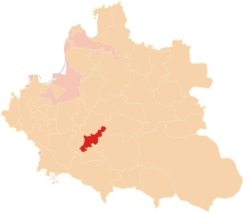
| Description | Położenie ziemi chełmskiej na mapie Rzeczypospolitej Obojga Narodów w 1619 r. |
| Date | |
| Source | Own work |
| Author | Poznaniak |
| Permission (Reusing this file) |
I, the copyright holder of this work, hereby publish it under the following license: This file is licensed under the Creative Commons Attribution-Share Alike 3.0 Unported license.
|
| Other versions |
.png) |
File history
Click on a date/time to view the file as it appeared at that time.
| Date/Time | Thumbnail | Dimensions | User | Comment | |
|---|---|---|---|---|---|
| current | 19:20, 7 October 2018 | | 1,000 × 875 (213 KB) | Poznaniak (talk | contribs) | Reverted to version as of 15:02, 2 January 2013 (UTC) - mapa lokalizacyjna, nazwy zbędne |
| 18:56, 29 December 2017 |  | 1,000 × 875 (231 KB) | Poeticbent (talk | contribs) | added name Prusy Książęce, bolding | |
| 22:01, 26 December 2017 |  | 1,000 × 875 (229 KB) | Poeticbent (talk | contribs) | please start adding text to your maps or they cannot inform | |
| 15:02, 2 January 2013 |  | 1,000 × 875 (213 KB) | Poznaniak (talk | contribs) | {{Information |Description = Położenie ziemi chełmskiej na mapie Rzeczypospolitej Obojga Narodów w 1619 r. |Source = własna praca |Date = 2 stycznia 2013 r. |Author = [[user:Poznani... |
You cannot overwrite this file.
File usage on Commons
The following page uses this file:
File usage on other wikis
The following other wikis use this file:
- Usage on de.wikipedia.org
- Usage on pl.wikipedia.org