File:Relief map of U.S., Nevada.png
Jump to navigation
Jump to search
Size of this preview: 408 × 600 pixels. Other resolutions: 163 × 240 pixels | 326 × 480 pixels | 882 × 1,297 pixels.
Original file (882 × 1,297 pixels, file size: 1.12 MB, MIME type: image/png)
Captions
Captions
Add a one-line explanation of what this file represents
Summary
[edit]| Description |
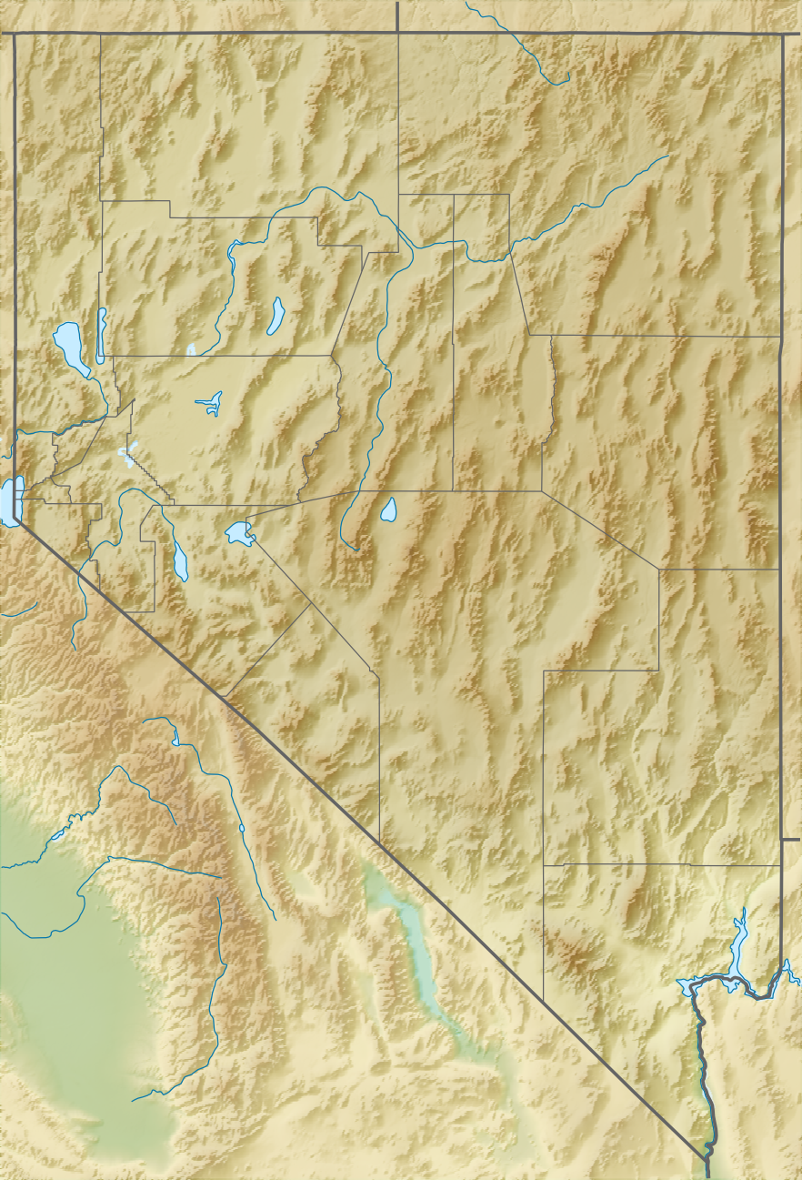
Русский: Физическая карта штата Невада (США).
Equirectangular projection, N/S stretching 125 %. Geographic limits of the map:
|
| Date | |
| Source |
|
| Author | Nzeemin |
| Other versions |
|

Licensing
[edit]
I, the copyright holder of this work, hereby publish it under the following license:
This file is licensed under the Creative Commons Attribution-Share Alike 3.0 Unported license.
- You are free:
- to share – to copy, distribute and transmit the work
- to remix – to adapt the work
- Under the following conditions:
- attribution – You must give appropriate credit, provide a link to the license, and indicate if changes were made. You may do so in any reasonable manner, but not in any way that suggests the licensor endorses you or your use.
- share alike – If you remix, transform, or build upon the material, you must distribute your contributions under the same or compatible license as the original.
File history
Click on a date/time to view the file as it appeared at that time.
| Date/Time | Thumbnail | Dimensions | User | Comment | |
|---|---|---|---|---|---|
| current | 22:22, 30 April 2017 | | 882 × 1,297 (1.12 MB) | Ayane m (talk | contribs) | 164 KB file size reduction |
| 17:15, 21 November 2012 |  | 882 × 1,297 (1.28 MB) | Nzeemin (talk | contribs) | User created page with UploadWizard |
You cannot overwrite this file.
File usage on Commons
The following 23 pages use this file:
- File:Relief map of U.S., Nevada Augusta Mountains.png
- File:Relief map of USA Nevada.png (file redirect)
- File:Relief map of USA Nevada Amargosa Range.png
- File:Relief map of USA Nevada Bodie Mountains.png
- File:Relief map of USA Nevada Jarbidge Mountains.png
- File:Relief map of USA Nevada Ruby Mountains.png
- File:Relief map of USA Nevada Santa Renia Mountains.png
- File:Relief map of USA Nevada Schell Creek Range.png
- File:Relief map of USA Nevada Spring Mountains.png
- File:Relief map of USA Nevada Toiyabe Range.png
- File:Relief map of USA Nevada Toquima Range.png
- File:Relief map of USA Nevada Snake Range.png
- File:Relief map of U.S., Nevada Augusta Mountains.png
- File:Relief map of USA Nevada Amargosa Range.png
- File:Relief map of USA Nevada Bodie Mountains.png
- File:Relief map of USA Nevada Jarbidge Mountains.png
- File:Relief map of USA Nevada Ruby Mountains.png
- File:Relief map of USA Nevada Santa Renia Mountains.png
- File:Relief map of USA Nevada Schell Creek Range.png
- File:Relief map of USA Nevada Snake Range.png
- File:Relief map of USA Nevada Spring Mountains.png
- File:Relief map of USA Nevada Toiyabe Range.png
- File:Relief map of USA Nevada Toquima Range.png
File usage on other wikis
The following other wikis use this file:
- Usage on azb.wikipedia.org
- Usage on az.wikipedia.org
- Usage on bg.wikipedia.org
- Usage on bn.wikipedia.org
- Usage on ca.wikipedia.org
- Usage on ceb.wikipedia.org
- Usage on ce.wikipedia.org
- Usage on cs.wikipedia.org
- Usage on da.wikipedia.org
- Usage on de.wikipedia.org
View more global usage of this file.