File:Romania 1930, Administrative Map1.png
Jump to navigation
Jump to search
No higher resolution available.
Romania_1930,_Administrative_Map1.png (500 × 389 pixels, file size: 68 KB, MIME type: image/png)
Captions
Captions
Add a one-line explanation of what this file represents
Summary
[edit]
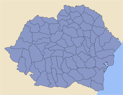
| Counties in Kingdom of Romania (1918–1940). | Județe în Regatul României (1918–1940). |
| This PNG picture is exported from Romania Administrative Map, as of 1930 (SVG). The work was done using Inkscape. | Această schiță în format PNG este un export obținut din harta administrativă a României, la 1930 (în format SVG). Munca a fost făcută folosind programul Inkscape (pagină în engleză). |
| A special care was paid for Colour Map. The Colour Map used is consistent with Map of Transylvania properly highlighted. | O preocupare importantă a fost coloritul schiței. Scara de culori folosită a fost insiprată din harta corectă a Transilvaniei. |
| This image has 250 px width and is intended to be use in Infoboxes. For other dimensions, please use SVG source. | Această imagine are lungimea de 250 px și este creată pentru folosirea în infobox-uri. Pentru alte dimensiuni, sunteți rugat să folosiți imaginea în format SVG. |
| The sources used (allready mentioned above) for this image are Public Domain. | Imaginile sursă folosite (menționate mai sus) sunt Domeniu Public. |
| Author: Cornel Ilie | Autor: Cornel Ilie |
Licensing
[edit]
| I, the copyright holder of this work, release this work into the public domain. This applies worldwide. In some countries this may not be legally possible; if so: I grant anyone the right to use this work for any purpose, without any conditions, unless such conditions are required by law. |

|
File:Romania 1930, Administrative Map.svg is a vector version of this file. It should be used in place of this PNG file when not inferior.
File:Romania 1930, Administrative Map1.png → File:Romania 1930, Administrative Map.svg
For more information, see Help:SVG. |
 |
File history
Click on a date/time to view the file as it appeared at that time.
| Date/Time | Thumbnail | Dimensions | User | Comment | |
|---|---|---|---|---|---|
| current | 15:44, 29 March 2014 | | 500 × 389 (68 KB) | Spiridon Ion Cepleanu (talk | contribs) | Little details 1938 |
| 23:37, 11 March 2006 |  | 500 × 389 (66 KB) | Cornel commons (talk | contribs) | Counties in Kingdom of Romania, as of 1930 |
You cannot overwrite this file.
File usage on Commons
The following 5 pages use this file: