File:RussiaContourMap.png
Jump to navigation
Jump to search
Size of this preview: 800 × 285 pixels. Other resolutions: 320 × 114 pixels | 640 × 228 pixels | 1,024 × 365 pixels | 1,280 × 456 pixels | 3,347 × 1,193 pixels.
Original file (3,347 × 1,193 pixels, file size: 305 KB, MIME type: image/png)
Captions
Captions
Add a one-line explanation of what this file represents
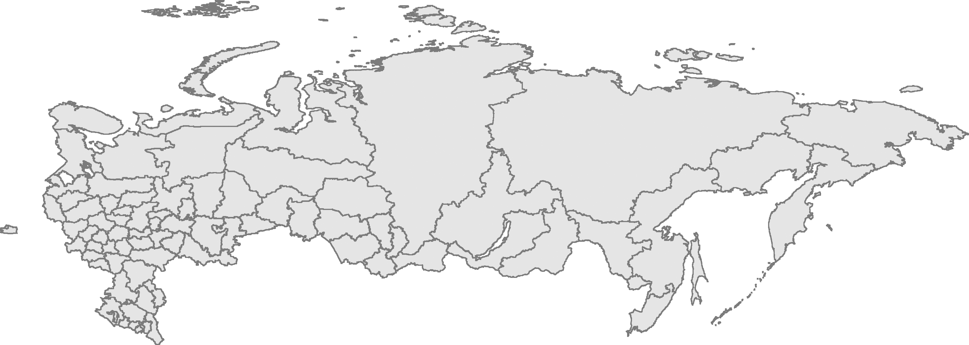
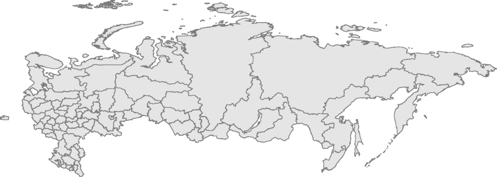
| Description | Russian Federation contour map, based on Image:Russia-equirectang*1,5.png | ||
| Date | |||
| Source | Own work | ||
| Author | User:Kalan | ||
| Permission (Reusing this file) |
|

|
This map image could be re-created using vector graphics as an SVG file. This has several advantages; see Commons:Media for cleanup for more information. If an SVG form of this image is available, please upload it and afterwards replace this template with
{{vector version available|new image name}}.
It is recommended to name the SVG file “RussiaContourMap.svg”—then the template Vector version available (or Vva) does not need the new image name parameter. |
File history
Click on a date/time to view the file as it appeared at that time.
| Date/Time | Thumbnail | Dimensions | User | Comment | |
|---|---|---|---|---|---|
| current | 23:56, 10 January 2009 | 3,347 × 1,193 (305 KB) | Чръный человек (talk | contribs) | {{Information |Description= |Source= |Date= |Author= |Permission= |other_versions= }} | |
| 23:12, 29 February 2008 | 3,347 × 1,193 (95 KB) | Sasha Krotov (talk | contribs) | Забайкальский край | ||
| 17:01, 1 January 2008 | 3,347 × 1,193 (95 KB) | Sasha Krotov (talk | contribs) | Усть-Ордынский Бурятский автономный округ удалён | ||
| 16:38, 28 December 2007 | 3,347 × 1,193 (96 KB) | Sasha Krotov (talk | contribs) | Kamchatka fix | ||
| 20:28, 25 April 2007 | 3,347 × 1,193 (88 KB) | Obersachse (talk | contribs) | {{Information |Description=Russian Federation contour map, based on Image:Russia-equirectang*1,5.png |Source={{{source|Own work}}} |Date={{{date|17 03 2007}}} |Author=User:Kalan |Permission={{PD-self}} |other_versions={{{otherversio | ||
| 10:15, 23 March 2007 | 6,694 × 2,387 (191 KB) | Kalan (talk | contribs) | map is now up to date; enhanced borders | ||
| 09:29, 17 March 2007 | 6,694 × 2,387 (163 KB) | Kalan (talk | contribs) | {{subst:User:Kalan/Me-PD|description=Russian Federation contour map, based on Image:Russia-equirectang*1,5.png}} Category:Russia Category:Maps |
You cannot overwrite this file.
File usage on Commons
The following page uses this file:
File usage on other wikis
The following other wikis use this file:
- Usage on ba.wikipedia.org
- Usage on bg.wikipedia.org
- Usage on de.wikipedia.org
- Usage on en.wikisource.org
- Usage on es.wikipedia.org
- Usage on mk.wikipedia.org
- Usage on nl.wikipedia.org
- Usage on ro.wikipedia.org
- Usage on ru.wikipedia.org
- Usage on szl.wikipedia.org
- Kalińingrad
- Moskwa
- Uljanowsk
- Pejtersburg
- Kamyszin
- Murmańsk
- Władywostok
- Smoleńsk
- Kondopoga
- Taganrog
- Czelabińsk
- Puszkin (mjasto)
- Tambow
- Saratow
- Nieriungri
- Jekaterinburg
- Brjańsk
- Machaczkala
- Kazań
- Samara
- Ńiżńij Nowgorod
- Elista
- Ułan-Ude
- Ufa
- Gorno-Ałtajsk
- Nalczik
- Czerkesk
- Jakuck
- Kyzył
- Abakan
- Czeboksary
- Rostow na Donu
- Ńagań
- Iżewsk
- Soczi
- Jarosław (mjasto we Rusyji)
- Rossosz (Rusyjo)
View more global usage of this file.