File:Russia European part location map.png
Jump to navigation
Jump to search
Size of this preview: 549 × 600 pixels. Other resolutions: 220 × 240 pixels | 439 × 480 pixels | 703 × 768 pixels | 937 × 1,024 pixels | 1,975 × 2,158 pixels.
Original file (1,975 × 2,158 pixels, file size: 265 KB, MIME type: image/png)
Captions
Captions
Add a one-line explanation of what this file represents

|
This file has been superseded by European Russia laea location map.svg. It is recommended to use the other file. Please note that deleting superseded images requires consent.
|
.svg&lang=en)
|
| Description |
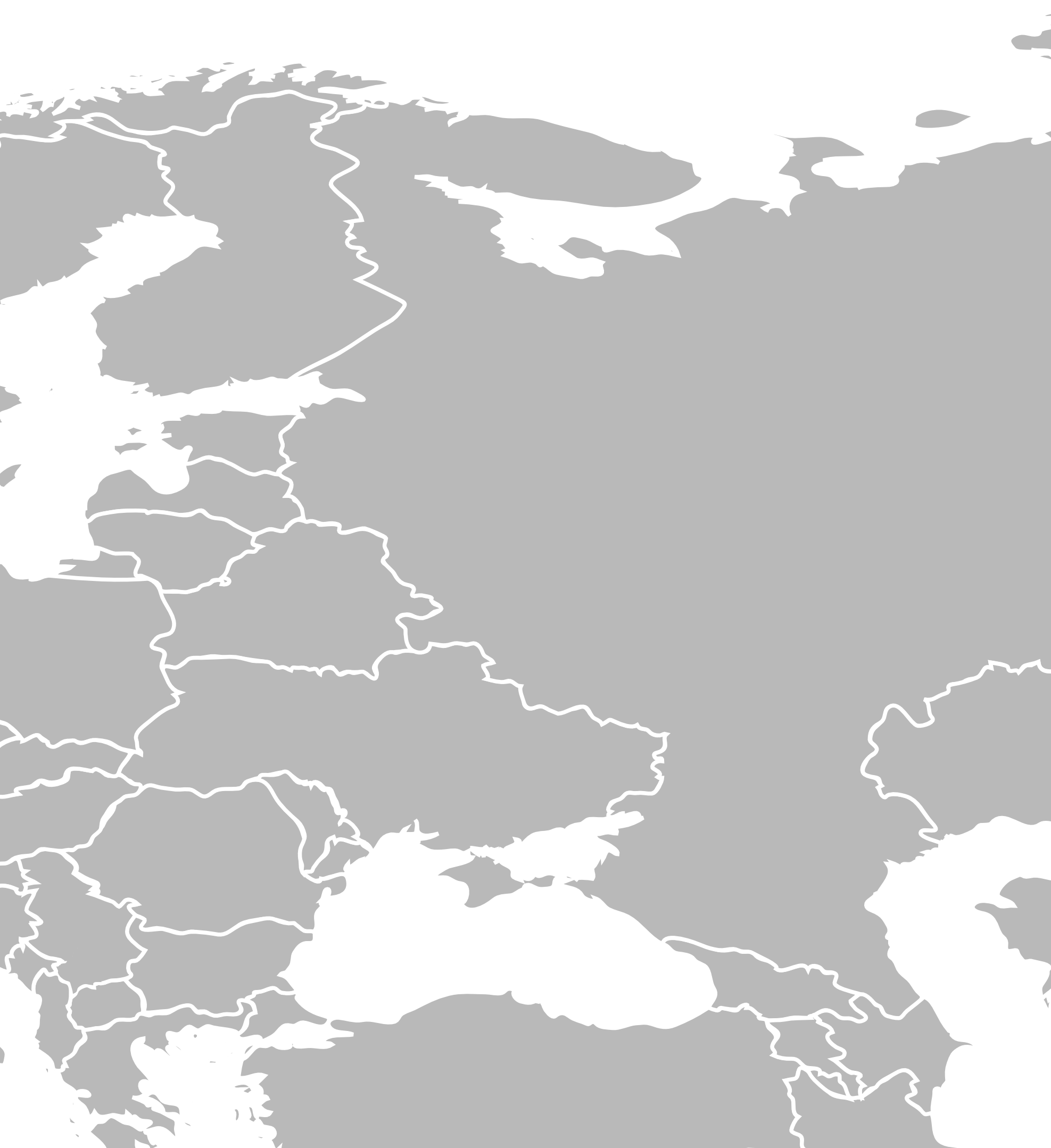
Location map of European part of Russia and European Sea Blue Geographic limits:
|
| Date | (UTC) |
| Source | |
| Author |
|
| This is a retouched picture, which means that it has been digitally altered from its original version. Modifications: cropped & exported to PNG. The original can be viewed here: BlankMap-FlatWorld6.svg:
|
I, the copyright holder of this work, hereby publish it under the following license:
| I, the copyright holder of this work, release this work into the public domain. This applies worldwide. In some countries this may not be legally possible; if so: I grant anyone the right to use this work for any purpose, without any conditions, unless such conditions are required by law. |
Original upload log
[edit]
This image is a derivative work of the following images:
- File:BlankMap-FlatWorld6.svg licensed with PD-self
- 2008-01-14T11:47:39Z Biercenator 2754x1397 (1755490 Bytes) Updated to current version of map produced by the script.
- 2007-12-19T13:22:29Z Biercenator 940x477 (2087585 Bytes) == Summary == Refactored from [[:en:Image:BlankMap-World6.svg]], q.v. This image is a sample of output from [http://gsl-nagoya-u.net/appendix/software/worldmap/ nugsl-worldmap], a Python script for the manipulation and maint
- 2007-12-15T15:31:55Z Biercenator 940x477 (2093416 Bytes) Refactored from [[:en:Image:BlankMap-World6.svg]], q.v. This image might prove useful if you want to change the area shown in the center of the Robinson projection version, since the conversion can be reversed.
- 2007-12-15T15:18:18Z Biercenator 940x477 (2093416 Bytes) == Summary == Refactored from [[:en:BlankMap-World6.svg]], q.v. This image might prove useful if you want to area shown in the center of the Robinson projection version, since the conversion can be reversed.
Uploaded with derivativeFX
File history
Click on a date/time to view the file as it appeared at that time.
| Date/Time | Thumbnail | Dimensions | User | Comment | |
|---|---|---|---|---|---|
| current | 12:41, 12 August 2010 | | 1,975 × 2,158 (265 KB) | Uzdzislaw (talk | contribs) | {{Information |Description=Location map of European part of Russia and European ex-USSR states. Geographic limits: * '''N''' 73° 22' N * '''S''' 37° 18' N * '''W''' 18° 18' E * '''E''' 52° 43' E |Source=*File:BlankMap-FlatWorld6.svg |Date=2010- |
You cannot overwrite this file.
File usage on Commons
There are no pages that use this file.