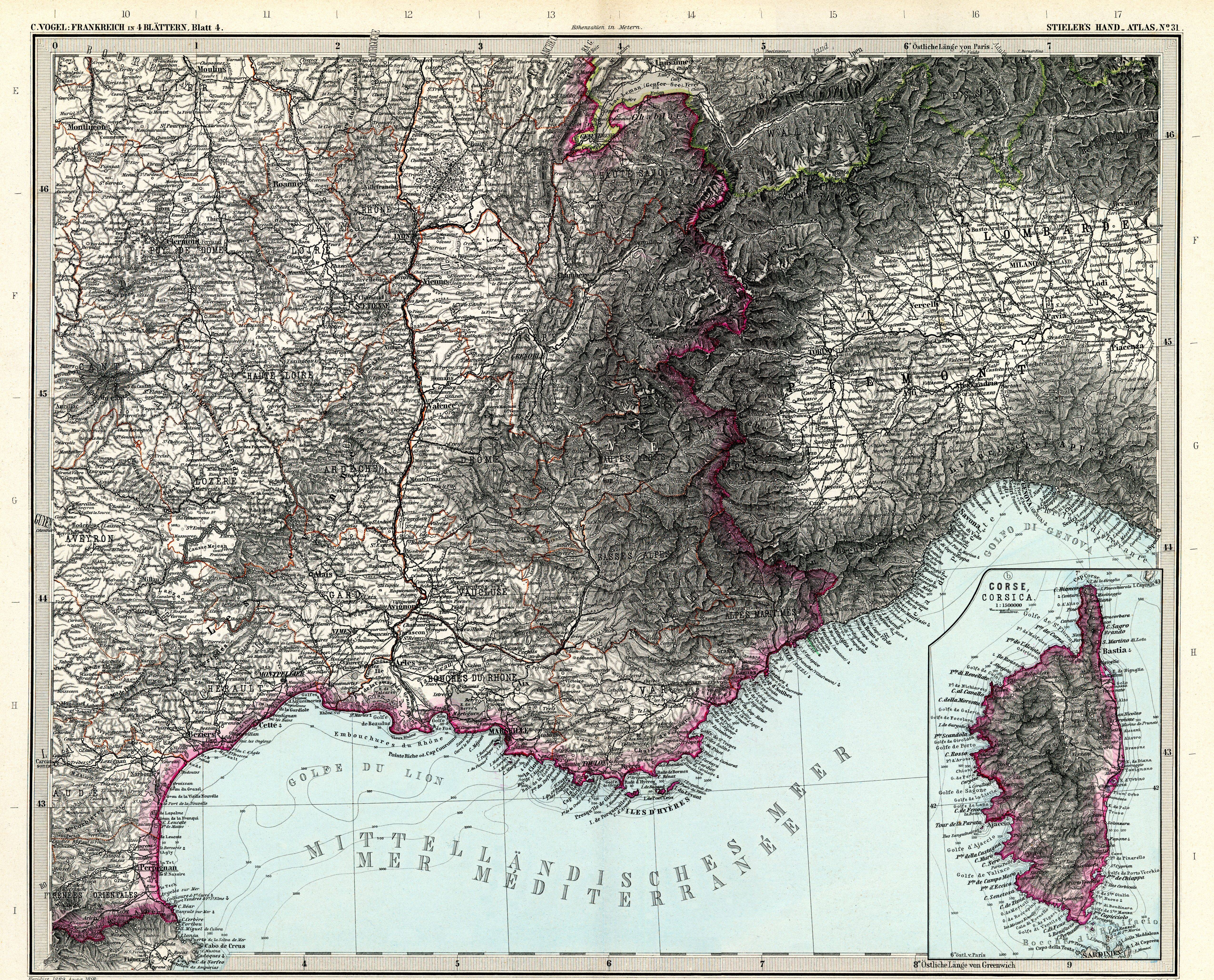
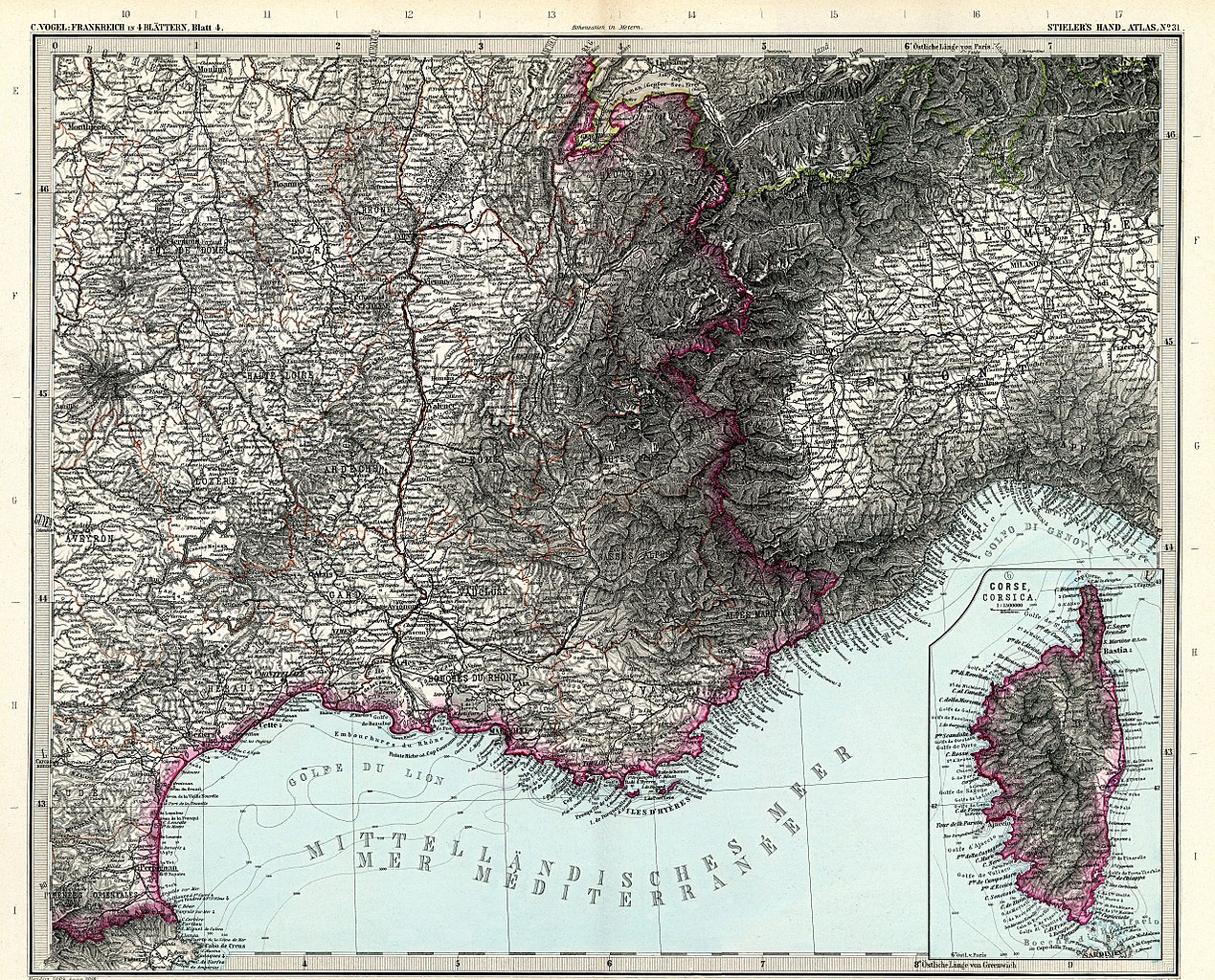
File:Stielers Handatlas 1891 31.jpg
Jump to navigation
Jump to search
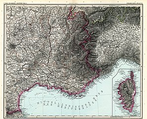
Size of this preview: 743 × 600 pixels. Other resolutions: 297 × 240 pixels | 595 × 480 pixels | 952 × 768 pixels | 1,269 × 1,024 pixels | 2,538 × 2,048 pixels | 5,100 × 4,116 pixels.
Original file (5,100 × 4,116 pixels, file size: 7.55 MB, MIME type: image/jpeg)
Captions
Captions
Add a one-line explanation of what this file represents
| Warning | The original file is very high-resolution. It might not load properly or could cause your browser to freeze when opened at full size. |
|---|
| Author |
|
||||||||||||||||||||||||||||||||||||||||||||||||||||||||||||||||||||||||||||||||||||||||||||||||||||||
| Description |
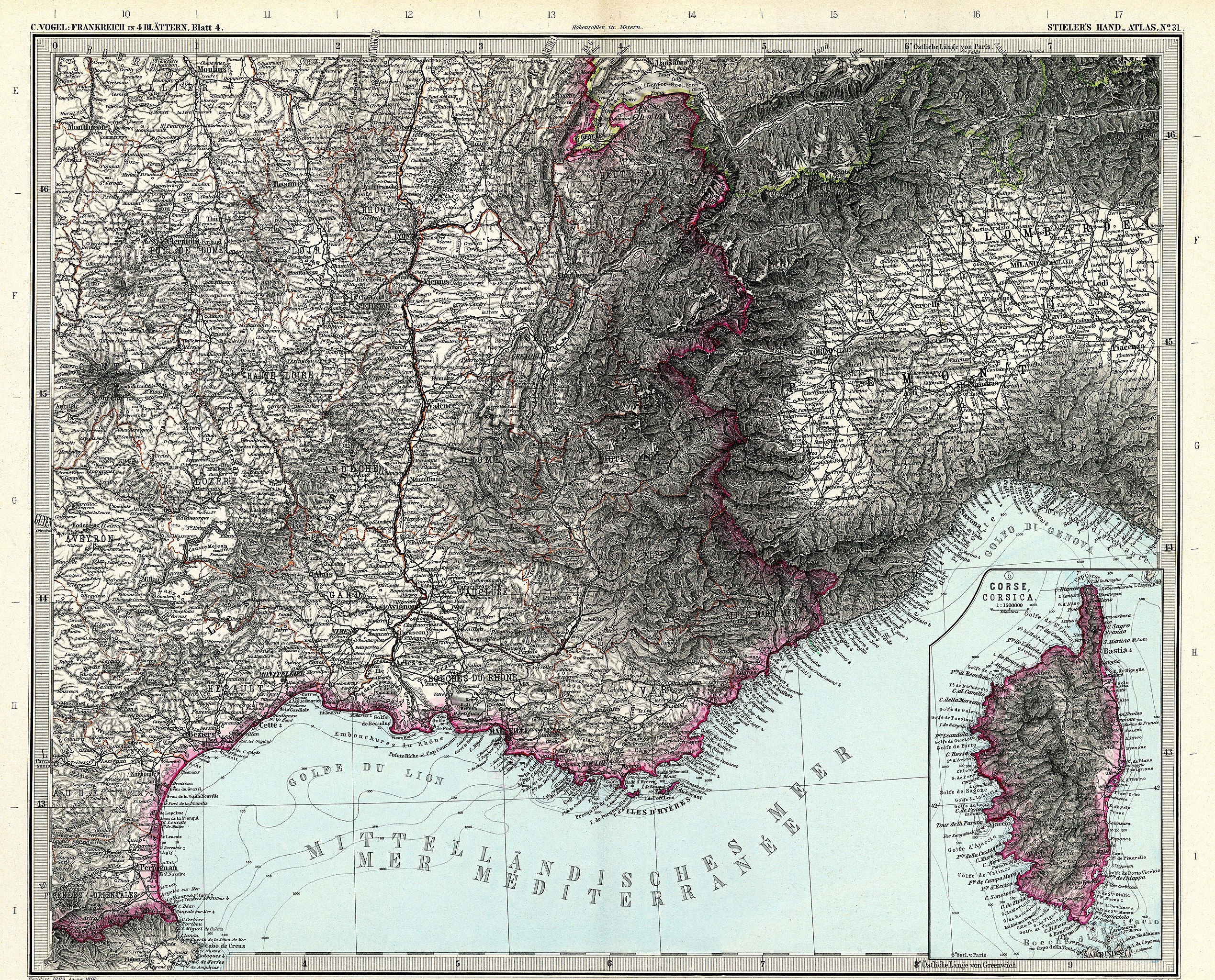
Deutsch: Frankreich in 4 Blättern, Blatt 4
English: France in 4 sheets, sheet 4 |
||||||||||||||||||||||||||||||||||||||||||||||||||||||||||||||||||||||||||||||||||||||||||||||||||||||
| Publication date | 1891 | ||||||||||||||||||||||||||||||||||||||||||||||||||||||||||||||||||||||||||||||||||||||||||||||||||||||
| Source | Adolf Stielers Handatlas | ||||||||||||||||||||||||||||||||||||||||||||||||||||||||||||||||||||||||||||||||||||||||||||||||||||||
| Permission (Reusing this file) |
|
||||||||||||||||||||||||||||||||||||||||||||||||||||||||||||||||||||||||||||||||||||||||||||||||||||||


.jpg)

derivative works
[edit]
Derivative works of this file: Montbrison-Montrond-Lyon.png
File history
Click on a date/time to view the file as it appeared at that time.
| Date/Time | Thumbnail | Dimensions | User | Comment | |
|---|---|---|---|---|---|
| current | 07:22, 13 March 2010 | | 5,100 × 4,116 (7.55 MB) | Kolossos (talk | contribs) | better quality |
| 17:35, 21 November 2006 |  | 3,825 × 3,188 (1.51 MB) | Poccil (talk | contribs) | {{Stielers Handatlas 1891|30|32|Frankreich in 4 Blättern, Blatt 4|France in 4 sheets, sheet 4}} Category:Old maps of France |
You cannot overwrite this file.
File usage on Commons
The following 3 pages use this file:
File usage on other wikis
The following other wikis use this file:
- Usage on en.wikipedia.org
Metadata
Categories:
- Stielers Handatlas 1891
- Maps of the Gulf of Lion
- Old maps of Occitania
- 19th-century maps of Loire River
- Old maps of Auvergne-Rhône-Alpes
- Maps of the Rhone watercourse system
- Old maps of the Alps
- Old maps of Provence-Alpes-Côte d'Azur
- Old maps of Aosta Valley
- 19th-century maps of Piedmont
- 1890s maps of Liguria
- 19th-century maps of Lombardy
- 19th-century maps of Corsica
- 1890s maps of Switzerland
- 1891 maps of France
- 1891 maps of Italy