File:Svalbard map.jpg
Jump to navigation
Jump to search
No higher resolution available.
Svalbard_map.jpg (329 × 355 pixels, file size: 26 KB, MIME type: image/jpeg)
Captions
Captions
Add a one-line explanation of what this file represents

|
This file has been superseded by Sv-map-de.png. It is recommended to use the other file. Please note that deleting superseded images requires consent. Reason to use the other file: "A PNG version of this file is now available."
|

|
not used, interwikilinks corrected to the png version --Frumpy 19:20, 21 August 2006 (UTC)
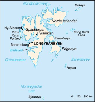
This image is in the public domain because it contains materials that originally came from the United States Central Intelligence Agency's World Factbook.
|
 |
File history
Click on a date/time to view the file as it appeared at that time.
| Date/Time | Thumbnail | Dimensions | User | Comment | |
|---|---|---|---|---|---|
| current | 16:45, 27 May 2005 | | 329 × 355 (26 KB) | Kristaga (talk | contribs) | {{pd}} Category:Maps of Norway |
You cannot overwrite this file.
File usage on Commons
There are no pages that use this file.