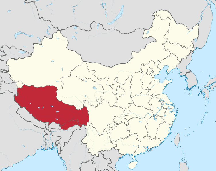
File:Tibet in China (all claimed).svg
Jump to navigation
Jump to search

Size of this PNG preview of this SVG file: 753 × 599 pixels. Other resolutions: 302 × 240 pixels | 603 × 480 pixels | 965 × 768 pixels | 1,280 × 1,019 pixels | 2,560 × 2,038 pixels | 1,181 × 940 pixels.
Original file (SVG file, nominally 1,181 × 940 pixels, file size: 3.88 MB)
Captions
Captions
Add a one-line explanation of what this file represents
Summary
[edit].svg)
.svg)
.svg)
.svg)
.svg)
.svg)
.svg)

-en.svg)

.svg)
.svg)
.svg)

_(US48).svg)
_(small_islands_magnified)_(-mini_map_-rivers).svg)
.svg)
_(extra_close)_(US48).svg)
.svg)
_(zoom).svg)

.svg)


_(UNMIK).svg)
.svg)
_(disputed_hatched).svg)
_(claimed_and_disputed_hatched).svg)
.svg)
.svg)
_(%2Ball_claims_hatched).svg)

.svg)
_(shade).svg)
_(shade)_(special_marker).svg)
_(-mini_map).svg)
_(-mini_map).svg)
_(-mini_map).svg)


.svg)

.svg)
.svg&action=edit§ion=1)
Licensing
[edit].svg&action=edit§ion=2)
I, the copyright holder of this work, hereby publish it under the following licenses:

|
Permission is granted to copy, distribute and/or modify this document under the terms of the GNU Free Documentation License, Version 1.2 or any later version published by the Free Software Foundation; with no Invariant Sections, no Front-Cover Texts, and no Back-Cover Texts. A copy of the license is included in the section entitled GNU Free Documentation License. |
This file is licensed under the Creative Commons Attribution-Share Alike 3.0 Unported license.
- You are free:
- to share – to copy, distribute and transmit the work
- to remix – to adapt the work
- Under the following conditions:
- attribution – You must give appropriate credit, provide a link to the license, and indicate if changes were made. You may do so in any reasonable manner, but not in any way that suggests the licensor endorses you or your use.
- share alike – If you remix, transform, or build upon the material, you must distribute your contributions under the same or compatible license as the original.
You may select the license of your choice.

|
I'd greatly appreciate, that you attribute this media file to Wikimedia Commons, if used outside Wikipedia or Commons. For use in publications such as books, newspapers, blogs, websites, please insert here the following line:
|
.svg)
File history
Click on a date/time to view the file as it appeared at that time.
| Date/Time | Thumbnail | Dimensions | User | Comment | |
|---|---|---|---|---|---|
| current | 19:53, 16 December 2015 | | 1,181 × 940 (3.88 MB) | TUBS (talk | contribs) | rv: Please leave that map as is. Check out Category:SVG locator maps of provinces in China (dark red location map scheme) for alternatives you like better |
| 19:44, 16 December 2015 |  | 1,181 × 940 (5.81 MB) | Skiplimt (talk | contribs) | Reverted to version as of 19:43, 10 April 2012 (UTC) | |
| 19:43, 16 December 2015 |  | 1,181 × 940 (5.81 MB) | Skiplimt (talk | contribs) | Reverted to version as of 05:19, 1 June 2014 (UTC) | |
| 07:49, 1 June 2014 |  | 1,181 × 940 (3.88 MB) | TUBS (talk | contribs) | rv: Please leave that map as is. Check out Category:SVG locator maps of provinces in China (dark red location map scheme) for alternatives you like better | |
| 05:19, 1 June 2014 |  | 1,181 × 940 (5.81 MB) | 420peace (talk | contribs) | 中华人民共和国并没有实际控制藏南,请尊重客观事实,谢谢 | |
| 22:53, 10 April 2012 |  | 1,181 × 940 (3.88 MB) | TUBS (talk | contribs) | rv: Please leave that map as is. Check out Category:SVG locator maps of provinces in China (dark red location map scheme) for alternatives you like better | |
| 19:43, 10 April 2012 |  | 1,181 × 940 (5.81 MB) | Rvd4life (talk | contribs) | Politically neutralised | |
| 11:57, 15 September 2011 |  | 1,181 × 940 (3.88 MB) | TUBS (talk | contribs) |
You cannot overwrite this file.
File usage on Commons
The following page uses this file:
File usage on other wikis
The following other wikis use this file:
- Usage on de.wikinews.org
- Usage on sah.wikipedia.org
- Usage on sk.wikipedia.org
- Usage on sv.wikipedia.org
- Usage on tl.wikipedia.org
- Usage on war.wikipedia.org
- Usage on wuu.wikipedia.org
- Usage on xal.wikipedia.org
- Usage on yo.wikipedia.org
- Usage on zh-classical.wikipedia.org
- Usage on zh-yue.wikipedia.org
- Usage on zh.wikipedia.org
View more global usage of this file.
.svg)
.svg&oldid=474512256)