File:Toledo-loc.svg
Jump to navigation
Jump to search

Size of this PNG preview of this SVG file: 512 × 299 pixels. Other resolutions: 320 × 187 pixels | 640 × 374 pixels | 1,024 × 598 pixels | 1,280 × 748 pixels | 2,560 × 1,495 pixels.
Original file (SVG file, nominally 512 × 299 pixels, file size: 411 KB)
Captions
Captions
Add a one-line explanation of what this file represents
Summary
[edit]
| Description |
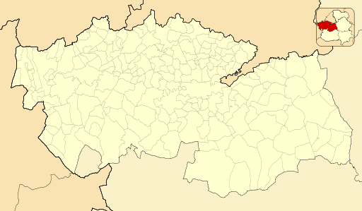
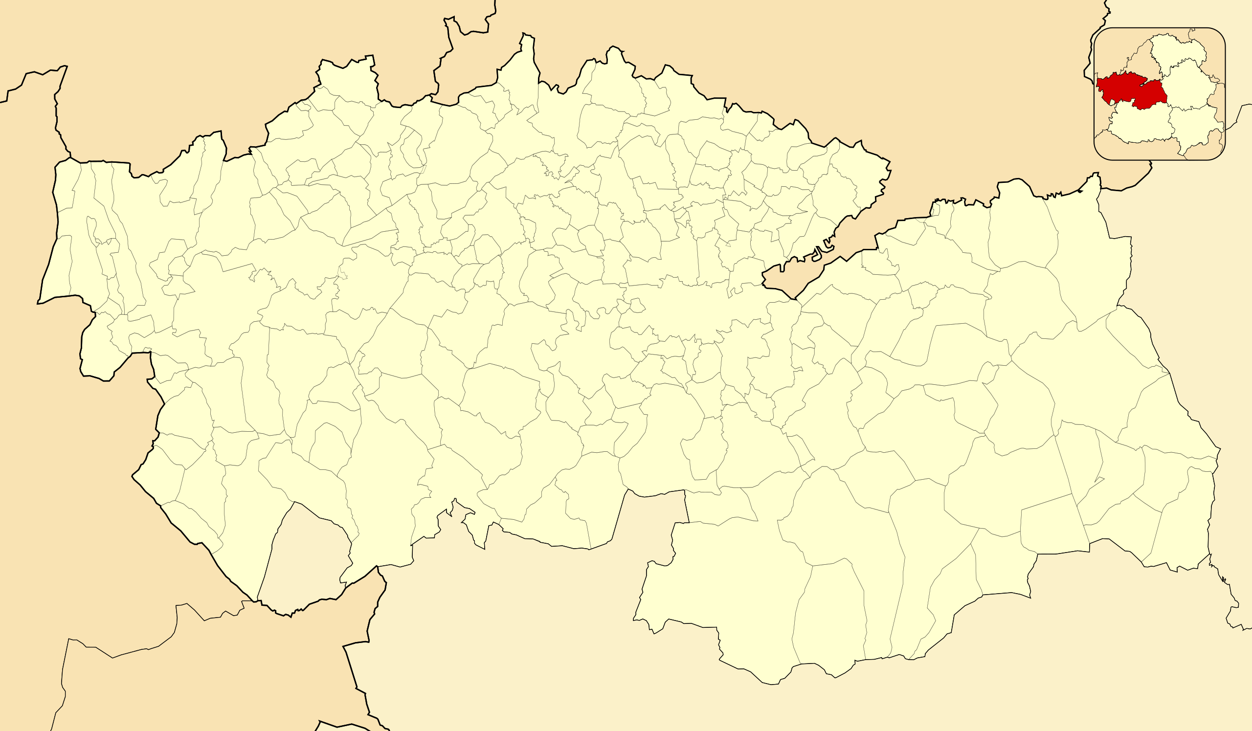
English: Location map of Province of Toledo
Equirectangular projection, N/S stretching 130 %. Geographic limits of the map:
Español: Mapa de localización de la Provincia de Toledo
Proyección equirrectangular (cilíndrica equidistante), N/S estirada 130 %. Límites geográficos del mapa:
|
|
| Date | ||
| Source | Own work based on: EspañaLoc.svg by HansenBCN | |
| Author | Miguillen | |
| SVG development |
|
Licensing
[edit]
Miguillen, the copyright holder of this work, hereby publishes it under the following license:
This file is licensed under the Creative Commons Attribution-Share Alike 3.0 Unported license.
Attribution: Miguillen
- You are free:
- to share – to copy, distribute and transmit the work
- to remix – to adapt the work
- Under the following conditions:
- attribution – You must give appropriate credit, provide a link to the license, and indicate if changes were made. You may do so in any reasonable manner, but not in any way that suggests the licensor endorses you or your use.
- share alike – If you remix, transform, or build upon the material, you must distribute your contributions under the same or compatible license as the original.
File history
Click on a date/time to view the file as it appeared at that time.
| Date/Time | Thumbnail | Dimensions | User | Comment | |
|---|---|---|---|---|---|
| current | 15:11, 10 December 2010 | | 512 × 299 (411 KB) | Miguillen (talk | contribs) | colores según convención |
| 19:50, 14 November 2010 |  | 512 × 299 (257 KB) | Miguillen (talk | contribs) | == {{int:filedesc}} == {{Information |Description={{en|Location map of Province of Toledo}} Equirectangular projection, N/S stretching 130 %. Geographic limits of the map: * N: ° N * S: ° N * W: ° O * E: ° O {{es|Mapa d |
You cannot overwrite this file.
File usage on Commons
There are no pages that use this file.
File usage on other wikis
The following other wikis use this file:
- Usage on ba.wikipedia.org
- Usage on eo.wikipedia.org
- Provinco Toledo
- Talavera de la Reina
- Illescas
- Bargas
- Komarko Torrijos
- Torrijos
- Altlernejo de Infanterio de Toledo
- Montearagón
- Erustes
- Oropesa
- Noez
- Ŝablono:Situo sur mapo Hispanio Provinco Toledo
- San Martín de Montalbán
- Villacañas
- Ŝablono:Situo sur mapo Hispanio Provinco Toledo/dokumentado
- Tembleque
- Quero (Toledo)
- El Romeral
- Noblejas
- Ocaña (Toledo)
- Ontígola
- Villasequilla
- Toledo (stacidomo)
- Talavera de la Reina (stacidomo)
- Santa Cruz de la Zarza (stacidomo)
- Villarrubia de Santiago (stacidomo)
- Noblejas (stacidomo)
- Ocaña (stacidomo)
- Ontígola (stacidomo)
- Illescas (stacidomo)
- Torrijos (stacidomo)
- Erustes (stacidomo)
- Montearagón (stacidomo)
- Oropesa de Toledo (stacidomo)
- Villasequilla (stacidomo)
- Tembleque (stacidomo)
- El Romeral (stacidomo)
- Villacañas (stacidomo)
- Quero (stacidomo)
- Huerta de Valdecarabano (stacidomo)
- Usage on es.wikipedia.org
View more global usage of this file.