File:USA, with territories (labeled).png
Jump to navigation
Jump to search
Size of this preview: 800 × 494 pixels. Other resolutions: 320 × 198 pixels | 640 × 396 pixels | 1,000 × 618 pixels.
Original file (1,000 × 618 pixels, file size: 106 KB, MIME type: image/png)
Captions
Captions
Add a one-line explanation of what this file represents
Summary
[edit].png&action=edit§ion=1)
| Description |
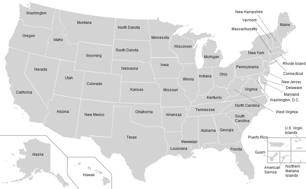
English: A map of the United States including Puerto Rico, Guam, the United States Virgin Islands, and the Northern Mariana Islands. All locations are noted by name. |
| Date | (UTC) |
| Source | Derived from File:Blank_USA,_w_territories.svg |
| Author | |
| Other versions |
All the below are of the states (and DC) only.
|
This image is a derivative work of the following images:
- File:Blank_USA,_w_territories.svg licensed with Cc-by-sa-3.0-migrated, GFDL
- 2009-01-30T01:59:59Z Hoshie 959x593 (98189 Bytes) Reverted to version as of 23:58, 14 January 2009 - rv myself; DC can be seen clearly.
- 2009-01-18T23:34:42Z Hoshie 959x593 (102341 Bytes) Put DC in an inset; fixed Tutuila (American Samoa)
- 2009-01-14T23:58:05Z Lokal Profil 959x593 (98189 Bytes) Code cleanup and removed stroke from Guam and American Samoa
- 2009-01-13T05:19:51Z Hoshie 959x593 (101361 Bytes) re did Guam and added American Samoa
- 2007-12-02T16:08:45Z Lokal Profil 959x593 (88960 Bytes) {{Information |Description=A blank map of the United States including Puerto Rico, Guam, the United States Virgin Islands, and the Northern Mariana Islands. |Source=This version was made by [[:en::User:Lokal_Profil|Lokal_Profil]]
Uploaded with derivativeFX
| This is a retouched picture, which means that it has been digitally altered from its original version. Modifications: Added names to all regions.. The original can be viewed here: Blank USA, w territories.svg:
|
Licensing
[edit].png&action=edit§ion=2)

|
Permission is granted to copy, distribute and/or modify this document under the terms of the GNU Free Documentation License, Version 1.2 or any later version published by the Free Software Foundation; with no Invariant Sections, no Front-Cover Texts, and no Back-Cover Texts. A copy of the license is included in the section entitled GNU Free Documentation License. |
| This file is licensed under the Creative Commons Attribution-Share Alike 3.0 Unported license. | ||
| ||
| This licensing tag was added to this file as part of the GFDL licensing update. |
Original upload log
[edit].png&action=edit§ion=3)
The original description page was here. All following user names refer to en.wikipedia.
| Date/Time | Dimensions | User | Comment |
|---|---|---|---|
| 2013-07-22 14:06 | 1000×618× (108266 bytes) | Toa Nidhiki05 | == {{int:filedesc}} == {{Information |Description=A map of the United States including Puerto Rico, Guam, the United States Virgin Islands, and the Northern Mariana Islands. All locations are noted by name. |Source={{Derived from|Blank_USA,_w_territori... |
File history
Click on a date/time to view the file as it appeared at that time.
| Date/Time | Thumbnail | Dimensions | User | Comment | |
|---|---|---|---|---|---|
| current | 22:14, 27 March 2016 | | 1,000 × 618 (106 KB) | Kingofthedead (talk | contribs) | Transferred from en.wikipedia |
You cannot overwrite this file.
File usage on Commons
There are no pages that use this file.
File usage on other wikis
The following other wikis use this file:
- Usage on kk.wikipedia.org
.png&oldid=901683505)