File:USA Kentucky location map.svg
Jump to navigation
Jump to search

Size of this PNG preview of this SVG file: 800 × 520 pixels. Other resolutions: 320 × 208 pixels | 640 × 416 pixels | 1,024 × 666 pixels | 1,280 × 832 pixels | 2,560 × 1,665 pixels | 1,501 × 976 pixels.
Original file (SVG file, nominally 1,501 × 976 pixels, file size: 823 KB)
Captions
Captions
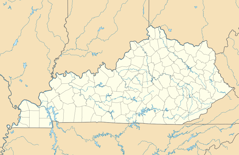
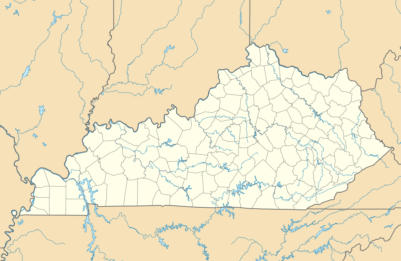
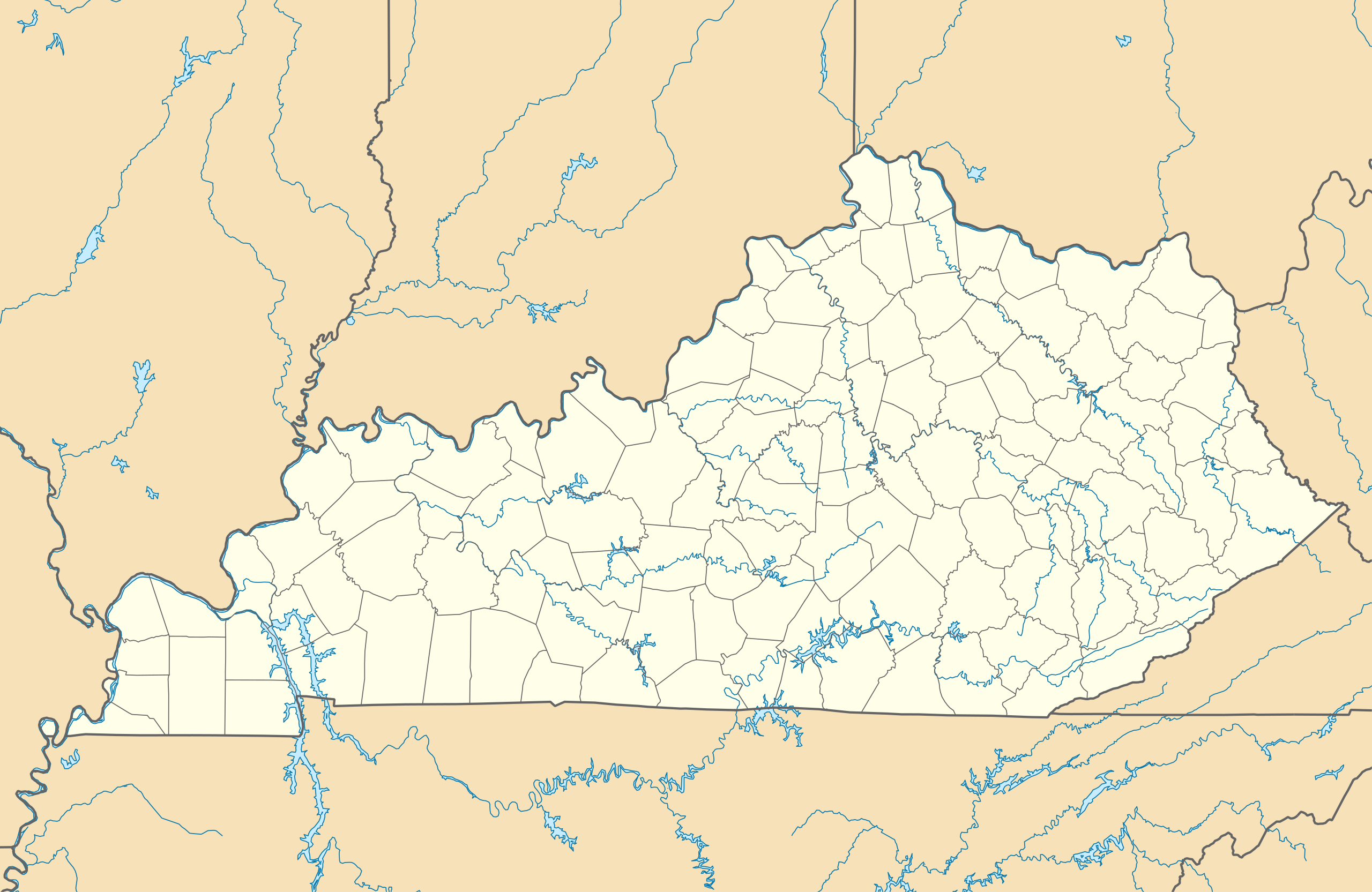
Location map of the state of Kentucky.
Summary
[edit]
| Description |
Quadratische Plattkarte, N-S-Streckung 130.0 %. Geographische Begrenzung der Karte:
Equirectangular projection, N/S stretching 130.0 %. Geographic limits of the map:
|
| Date | |
| Source | Own work |
| Author | Alexrk2 |
| Other versions |
Derivative works of this file: BMO Harris Bank 2012-06.png Derivative works of this file: |

|
This map has been made or improved in the German Kartenwerkstatt (Map Lab). You can propose maps to improve as well.
|
Licensing
[edit]
I, the copyright holder of this work, hereby publish it under the following licenses:

|
Permission is granted to copy, distribute and/or modify this document under the terms of the GNU Free Documentation License, Version 1.2 or any later version published by the Free Software Foundation; with no Invariant Sections, no Front-Cover Texts, and no Back-Cover Texts. A copy of the license is included in the section entitled GNU Free Documentation License. |
This file is licensed under the Creative Commons Attribution 3.0 Unported license.
- You are free:
- to share – to copy, distribute and transmit the work
- to remix – to adapt the work
- Under the following conditions:
- attribution – You must give appropriate credit, provide a link to the license, and indicate if changes were made. You may do so in any reasonable manner, but not in any way that suggests the licensor endorses you or your use.
You may select the license of your choice.
File history
Click on a date/time to view the file as it appeared at that time.
| Date/Time | Thumbnail | Dimensions | User | Comment | |
|---|---|---|---|---|---|
| current | 14:45, 3 September 2009 | | 1,501 × 976 (823 KB) | Alexrk2 (talk | contribs) | == Beschreibung == {{Information |Description= {{de|Positionskarte von Kentucky, USA}} Quadratische Plattkarte, N-S-Streckung 130.0 %. Geographische Begrenzung der Karte: * N: 39.8° N * S: 35.8° N * W: 89.8° W * O: 81.8° W |
You cannot overwrite this file.
File usage on Commons
The following 29 pages use this file:
- File:BJ's Gas Station locations 2020 December.png
- File:BJ's store locations.png
- File:BJ's store locations 2020 December.png
- File:BMO Harris Bank 2012-06.png
- File:Checkers and Rally's footprint.png
- File:Citgo locations 2020 September.png
- File:Costco footprint map USA 2021-01.png
- File:Dollar Tree footprint map 2020-12.png
- File:Family Dollar footprint map 2020-12.png
- File:GetGo20-01.png
- File:Harris Teeter footprint 2020-12.png
- File:Harris Teeter footprint 2020-12 fuel.png
- File:Huntington National Bank footprint map.png
- File:Moto Mart footprint map.png
- File:Publix footprint 2020 November.png
- File:QuikTrip Footprint 2020 October.png
- File:RaceTrac+RaceWay footprint 2020-01.png
- File:RaceTrac US footprint.png
- File:RaceWay US footprint.png
- File:Rooms To Go footprint map 2021-01.png
- File:Save-A-Lot footprint map.png
- File:Speedway Footprint 2020 August.png
- File:Speedway Jun2018 to Aug2020 comparison.png
- File:Target stores footprint 2020-12.png
- File:Thorntons footprint 2020-01.png
- File:USA Kentucky relief location map.svg
- File:Valero brands branded gas stations 2020-12.png
- File:Walmart branded fuel stations map 2020-12.png
- File:Walmart locations with on-site fuel stations map 2020-20.png
File usage on other wikis
The following other wikis use this file:
- Usage on af.wikipedia.org
- Usage on an.wikipedia.org
- Usage on ar.wikipedia.org
- Usage on ast.wikipedia.org
- Usage on azb.wikipedia.org
- سنتر، کنتاکی
- وستوود، بوید کانتی، کنتاکی
- تولو، کنتاکی
- قریسی، کنتاکی
- آقزیئر، کنتاکی
- ماقنولیا، کنتاکی
- بافالو، کنتاکی
- میکینق، کنتاکی
- دیابلاک، کنتاکی
- املین، کنتاکی
- سالویستا، کنتاکی
- چاپلین، کنتاکی
- بندانا، کنتاکی
- آنیدا، کنتاکی
- چریوود ویلیج سینت متیوز، کنتاکی
- برود فیلدز، سنت متیوز، کنتاکی
- پتفورک، کنتاکی
- اسپرینقلی، سنت متیوز، کنتاکی
- فیرمید، سنت متیوز، کنتاکی
- بتسی لین، کانتاکی
- سامرزویل، کنتاکی
- پاین قپ، کنتاکی
- جف، کنتاکی
- کنویر، کنتاکی
- میدز، کنتاکی
- دکستر، کنتاکی
- هیزل قرین، کنتاکی
- مانکیز آیبرو، کنتاکی
- بارنت اسپرینقز، کنتاکی
- پلزنت ویو،کنتاکی
- قلن فورک، کنتاکی
- سامر شید، کنتاکی
- فلت لیک، کنتاکی
- جنتریز میل، کنتاکی
- دانبار هیل، کنتاکی
- فیترزبورق، کنتاکی
- هاردی، کنتاکی
- مایز لیک، کنتاکی
- بلو مون، کنتاکی
- کیسی کریک، کنتاکی
- دنور، کنتاکی
View more global usage of this file.