File:USA Maine location map.svg
Jump to navigation
Jump to search

Size of this PNG preview of this SVG file: 393 × 599 pixels. Other resolutions: 157 × 240 pixels | 315 × 480 pixels | 504 × 768 pixels | 672 × 1,024 pixels | 1,343 × 2,048 pixels | 820 × 1,250 pixels.
Original file (SVG file, nominally 820 × 1,250 pixels, file size: 606 KB)
Captions
Captions
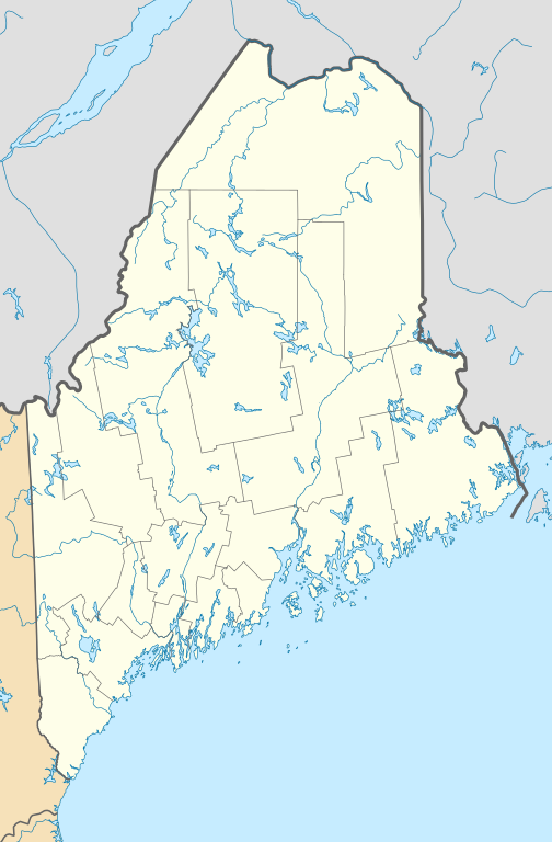
Location map of Maine, USA
Summary
[edit]
| Description |
Quadratische Plattkarte, N-S-Streckung 140.0 %. Geographische Begrenzung der Karte:
Equirectangular projection, N/S stretching 140.0 %. Geographic limits of the map:
|
| Date | |
| Source | Own work |
| Author | Alexrk2 |
| Other versions |
Derivative works of this file: |

|
This map has been made or improved in the German Kartenwerkstatt (Map Lab). You can propose maps to improve as well.
|
Licensing
[edit]
I, the copyright holder of this work, hereby publish it under the following licenses:

|
Permission is granted to copy, distribute and/or modify this document under the terms of the GNU Free Documentation License, Version 1.2 or any later version published by the Free Software Foundation; with no Invariant Sections, no Front-Cover Texts, and no Back-Cover Texts. A copy of the license is included in the section entitled GNU Free Documentation License. |
This file is licensed under the Creative Commons Attribution 3.0 Unported license.
- You are free:
- to share – to copy, distribute and transmit the work
- to remix – to adapt the work
- Under the following conditions:
- attribution – You must give appropriate credit, provide a link to the license, and indicate if changes were made. You may do so in any reasonable manner, but not in any way that suggests the licensor endorses you or your use.
You may select the license of your choice.
File history
Click on a date/time to view the file as it appeared at that time.
| Date/Time | Thumbnail | Dimensions | User | Comment | |
|---|---|---|---|---|---|
| current | 15:53, 26 June 2009 | | 820 × 1,250 (606 KB) | Alexrk2 (talk | contribs) | == Beschreibung == {{Information |Description= {{de|Positionskarte von Maine, USA}} Quadratische Plattkarte, N-S-Streckung 140.0 %. Geographische Begrenzung der Karte: * N: 47.7° N * S: 42.7° N * W: 71.3° W * O: 66.7° W {{en| |
You cannot overwrite this file.
File usage on Commons
The following 15 pages use this file:
- File:BJ's Gas Station locations 2020 December.png
- File:BJ's store locations.png
- File:BJ's store locations 2020 December.png
- File:Citgo locations 2020 September.png
- File:Costco footprint map USA 2021-01.png
- File:Dollar Tree footprint map 2020-12.png
- File:Family Dollar footprint map 2020-12.png
- File:Save-A-Lot footprint map.png
- File:Speedway Footprint 2020 August.png
- File:Speedway Jun2018 to Aug2020 comparison.png
- File:Target stores footprint 2020-12.png
- File:USA Maine relief location map.svg
- File:Valero brands branded gas stations 2020-12.png
- File:Walmart branded fuel stations map 2020-12.png
- File:Walmart locations with on-site fuel stations map 2020-20.png
File usage on other wikis
The following other wikis use this file:
- Usage on an.wikipedia.org
- Usage on ar.wikipedia.org
- Usage on azb.wikipedia.org
- هرمون، مین
- مکزیکو ، مین
- بار هاربر ، مین
- سنت دیوید، مین
- موسلوکمقانتیک، مین
- استرانق، مین
- میپلتون ، مین
- گونئی جنوبغربی هاربر ، مین
- کستین ، مین
- باکسپورت ، مین
- داماریسکوتا-نیوکسل، مین
- بتل، مین
- همپدن ، مین
- فورست سیتی، مین
- جوناسپورت، مین
- پیتسفیلد ، مین
- کراتونک، مین
- مارس هیل ، مین
- وینتر هاربر ، مین
- هاولند ، مین
- دکستر ، مین
- مسکو، مین
- ویلتون ، مین
- نیوپورت ، مین
- مارس هیل-بلین، مین
- بلو هیل ، مین
- واشبرن ، مین
- اشلند ، مین
- اورورا، مین
- فارمینقتون ، مین
- هولتون، میزوری
- بینقام، مین
- اسکوهیقان، مین
- آکتون، مئین
- آدیسون، مئین
- وایت، مئین
- الکساندر، مئین
- تالمادج، مئین
- آلفرد، مئین
- کراوفورد، مئین
- والاقراس، مئین
- والتام، مئین
- نیوپورت، مئین
- تمپل، مئین
- آلتون، مئین
View more global usage of this file.