File:US 830.svg
Jump to navigation
Jump to search

Size of this PNG preview of this SVG file: 750 × 600 pixels. Other resolutions: 300 × 240 pixels | 600 × 480 pixels | 960 × 768 pixels | 1,280 × 1,024 pixels | 2,560 × 2,048 pixels.
Original file (SVG file, nominally 750 × 600 pixels, file size: 9 KB)
Captions
Captions
Add a one-line explanation of what this file represents
Summary
[edit]
| Description |
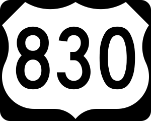
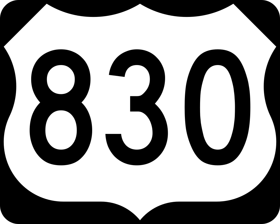
English: 750 mm × 600 mm (30 in × 24 in) U.S. Highway shield, made to the specifications of the 2004 edition of Standard Highway Signs. (Note that there is a missing "J" label on the left side of the diagram.) Uses the Roadgeek 2005 fonts. (United States law does not permit the copyrighting of typeface designs, and the fonts are meant to be copies of a U.S. Government-produced work anyway.) |
| Date | (UTC) |
| Source | 2004 MUTCD Standard Highway Signs |
| Author | Fredddie, originally SPUI |
Licensing
[edit]
This file is in the public domain because it comes from the Manual on Uniform Traffic Control Devices, sign number M1-4, which states specifically on page I-1 that:
|
.svg) |
File history
Click on a date/time to view the file as it appeared at that time.
| Date/Time | Thumbnail | Dimensions | User | Comment | |
|---|---|---|---|---|---|
| current | 01:45, 26 August 2017 | | 750 × 600 (9 KB) | Fredddie (talk | contribs) | |
| 07:54, 27 January 2006 |  | 750 × 600 (6 KB) | SPUI~commonswiki (talk | contribs) | {{spuiother}} 750 mm by 600 mm (30 in by 24 in) U.S. Route shield, made to the specifications of the [http://mutcd.fhwa.dot.gov/SHSm/Guide.pdf 2004 edition of Standard Highway Signs]. (Note that there is a missing "J" label on the left side of the diagram |
You cannot overwrite this file.
File usage on Commons
The following 23 pages use this file:
- U.S. Highway shields
- User:Fredddie/gallery/archive 15
- Commons:Files used on the AARoads Wiki/69
- File:Central Frontenac Township Road 38.svg
- File:Durham Regional Highway 48.svg
- File:Kingston City Road 38.svg
- File:North Dumfries Township Road 18.svg
- File:North Dumfries Township Road 8.svg
- File:Perth County Line 8.svg
- File:Perth County Line 86.svg
- File:Perth County Line 88.svg
- File:Perth County Road 118.svg
- File:Perth County Road 178.svg
- File:Perth County Road 180.svg
- File:Quinte West City Road 28.svg
- File:Quinte West City Road 8.svg
- File:South Frontenac Township Road 18.svg
- File:South Frontenac Township Road 38.svg
- File:South Frontenac Township Road 8.svg
- File:Waterloo Township Road 78.svg
- File:Wilmot Township Road 18.svg
- File:Wilmot Township Road 8.svg
- Category:U.S. Route 830
File usage on other wikis
The following other wikis use this file:
- Usage on en.wikipedia.org
- Usage on www.wikidata.org