File:United Kingdom NUTS location map.svg
Jump to navigation
Jump to search

Size of this PNG preview of this SVG file: 388 × 600 pixels. Other resolutions: 155 × 240 pixels | 310 × 480 pixels | 497 × 768 pixels | 663 × 1,024 pixels | 1,325 × 2,048 pixels | 886 × 1,369 pixels.
Original file (SVG file, nominally 886 × 1,369 pixels, file size: 873 KB)
Captions
Captions
Add a one-line explanation of what this file represents
| Description |
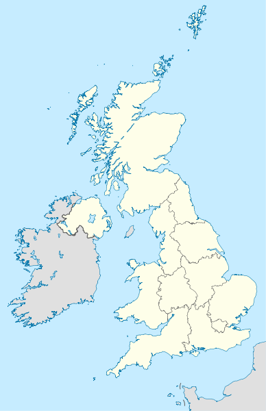
Deutsch: Positionskarte des Vereinigten Königreichs mit NUTS-1-Gebieten
Quadratische Plattkarte, N-S-Streckung 170 %. Geographische Begrenzung der Karte:
English: Location map of the United Kingdom with NUTS 1 areas
Equirectangular projection, N/S stretching 170 %. Geographic limits of the map:
|
| Date | (UTC) |
| Source | |
| Author |
|
| Other versions |
|


This file is licensed under the Creative Commons Attribution-Share Alike 3.0 Unported license.
- You are free:
- to share – to copy, distribute and transmit the work
- to remix – to adapt the work
- Under the following conditions:
- attribution – You must give appropriate credit, provide a link to the license, and indicate if changes were made. You may do so in any reasonable manner, but not in any way that suggests the licensor endorses you or your use.
- share alike – If you remix, transform, or build upon the material, you must distribute your contributions under the same or compatible license as the original.
Original upload log
[edit]
This image is a derivative work of the following images:
- File:United_Kingdom_location_map.svg licensed with Cc-by-sa-3.0, GFDL
- 2011-01-11T22:14:29Z NordNordWest 886x1369 (660787 Bytes) upd
- 2008-07-19T21:44:02Z NordNordWest 886x1369 (1484834 Bytes) '
- 2008-07-07T14:29:12Z NordNordWest 886x1369 (1484834 Bytes) '
- 2008-07-01T16:17:52Z NordNordWest 886x1369 (1547699 Bytes) '
- 2008-07-01T16:05:12Z NordNordWest 886x1369 (1546376 Bytes) {{Information |Description= {{de|Positionskarte des [[:de:Vereinigtes Königreich|Vereinigten Königreichs]]}} Quadratische Plattkarte, N-S-Streckung 170 %. Geographische Begrenzung der Karte: * N: 61.0° N * S: 49.0° N * W:
- File:England_location_map.svg licensed with Cc-by-sa-3.0
- 2010-03-12T22:58:19Z Spischot 816x991 (468569 Bytes) {{Information |Description= {{de|Positionskarte von [[:de:England|]]}} Quadratische Plattkarte, N-S-Streckung 170 %. Geographische Begrenzung der Karte: * N: 56.0° N * S: 49.75° N * W: 6.75° W * O: 2.0° O {{en|Location
Uploaded with derivativeFX
File history
Click on a date/time to view the file as it appeared at that time.
| Date/Time | Thumbnail | Dimensions | User | Comment | |
|---|---|---|---|---|---|
| current | 14:12, 22 January 2011 | | 886 × 1,369 (873 KB) | NordNordWest (talk | contribs) | {{Information |Description={{de|Positionskarte des Vereinigten Königreichs mit NUTS-1-Gebieten}} Quadratische Plattkarte, N-S-Streckung 170 %. Geographische Begrenzung der Karte: * N: 61.0° N * S: 49.0° N * W: 11.0° |
You cannot overwrite this file.
File usage on Commons
The following 4 pages use this file:
File usage on other wikis
The following other wikis use this file:
- Usage on als.wikipedia.org
- Usage on ast.wikipedia.org
- Usage on ce.wikipedia.org
- Usage on ckb.wikipedia.org
- Usage on de.wikipedia.org
- Usage on diq.wikipedia.org
- Usage on en.wikipedia.org
- Usage on es.wikipedia.org
- Usage on frr.wikipedia.org
- Usage on hy.wikipedia.org
- Usage on io.wikipedia.org
- Usage on kaa.wikipedia.org
- Usage on ka.wikipedia.org
- Usage on kbd.wikipedia.org
- Usage on ky.wikipedia.org
- Usage on lez.wikipedia.org
- Usage on mn.wikipedia.org
- Usage on myv.wikipedia.org
View more global usage of this file.