File:Usa edcp (+HI +AK) relief location map.png
Jump to navigation
Jump to search
Size of this preview: 800 × 495 pixels. Other resolutions: 320 × 198 pixels | 640 × 396 pixels | 1,024 × 634 pixels | 1,280 × 792 pixels | 2,000 × 1,238 pixels.
Original file (2,000 × 1,238 pixels, file size: 2.03 MB, MIME type: image/png)
Captions
Captions
Add a one-line explanation of what this file represents
Summary
[edit]| Description |
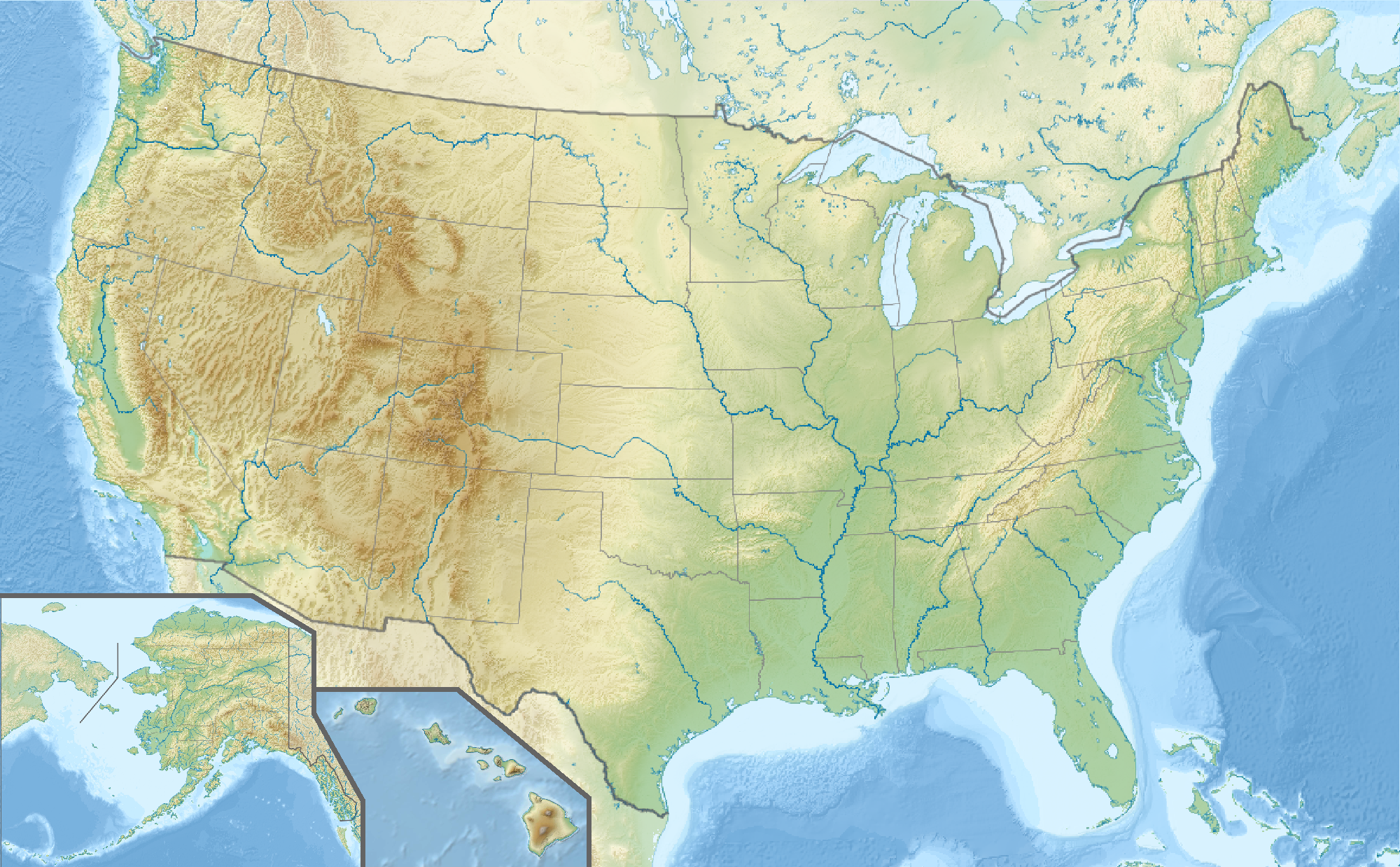
English: Location map of the USA (Hawaii and Alaska shown in sidemaps).
Main map: EquiDistantConicProjection : Central parallel : * N: 37.0° N Central meridian : * E: 96.0° W Standard parallels: * 1: 32.0° N * 2: 42.0° N Made with Natural Earth. Free vector and raster map data @ naturalearthdata.com. Formulas for x and y: x = 50.0 + 124.03149777329222 * ((1.9694462586094064-({{{2}}}* pi / 180))
* sin(0.6010514667026994 * ({{{3}}} + 96) * pi / 180))
y = 50.0 + 1.6155950752393982 * 124.03149777329222 * 0.02613325650382181
- 1.6155950752393982 * 124.03149777329222 *
(1.3236744353715044 - (1.9694462586094064-({{{2}}}* pi / 180))
* cos(0.6010514667026994 * ({{{3}}} + 96) * pi / 180))
Hawaii side map: Equirectangular projection, N/S stretching 107 %. Geographic limits of the map:
Alaska side map: Equirectangular projection, N/S stretching 210.0 %. Geographic limits of the map:
|
| Date | |
| Source |
Own work This image includes elements that have been taken or adapted from this file: This image includes elements that have been taken or adapted from this file: This image includes elements that have been taken or adapted from this file: This image includes elements that have been taken or adapted from this file: This image includes elements that have been taken or adapted from this file: This image includes elements that have been taken or adapted from this file: |
| Author |
TUBS |
| Other versions |
|
| PNG development | This map was created with Adobe Illustrator. |
_location_map.svg)
_relief_location_map.png)
_relief_location_map.svg)
_relief_location_map.png&action=edit§ion=1)
Licensing
[edit]_relief_location_map.png&action=edit§ion=2)
I, the copyright holder of this work, hereby publish it under the following license:
This file is licensed under the Creative Commons Attribution-Share Alike 3.0 Unported license.
- You are free:
- to share – to copy, distribute and transmit the work
- to remix – to adapt the work
- Under the following conditions:
- attribution – You must give appropriate credit, provide a link to the license, and indicate if changes were made. You may do so in any reasonable manner, but not in any way that suggests the licensor endorses you or your use.
- share alike – If you remix, transform, or build upon the material, you must distribute your contributions under the same or compatible license as the original.
File history
Click on a date/time to view the file as it appeared at that time.
| Date/Time | Thumbnail | Dimensions | User | Comment | |
|---|---|---|---|---|---|
| current | 15:50, 24 October 2013 | | 2,000 × 1,238 (2.03 MB) | TUBS (talk | contribs) | == Summary == {{Information |Description={{en|1=Location map of the USA (Hawaii and Alaska shown in sidemaps). '''Main map''': EquiDistantConicProjection : Central parallel : * N: 37.0° N Central meridian : * E: 96.0° W Standard parallels: * 1: ... |
You cannot overwrite this file.
File usage on Commons
The following 5 pages use this file:
-relief_location_map.png&redirect=no)
_relief_location_map.png&redirect=no)
File usage on other wikis
The following other wikis use this file:
- Usage on als.wikipedia.org
- Usage on de.wikipedia.org
- Manhattan-Projekt
- Black Hills
- Rockwell B-1
- Yellowstone Lake
- Trinity-Test
- Hoover Dam
- Oak Ridge National Laboratory
- Sangre de Cristo Range
- Front Range
- Wasatchkette
- Uinta Mountains
- San-Juan-Gebirge
- Apache-Sitgreaves National Forests
- Coronado National Forest
- Chiricahua Mountains
- Guadalupe Mountains
- Oquirrh-Gebirge
- La Sal Mountains
- Medicine Bow Mountains
- New Bullards Bar Dam
- New Melones Dam
- Raton Pass
- Hanford Site
- Golf von Maine
- Sandia Mountains
- World Series 2006
- World Series 2005
- Vorlage:Positionskarte USA
- Kategorie:NASCAR-Rennstrecke
- World Series 2007
- Blue Mountains (Pazifischer Nordwesten)
- Coast Guard Island
- Vorlage:Positionskarte USA Minnesota
- Vorlage:Positionskarte USA Kalifornien
- Vorlage:Positionskarte USA Florida
- Vorlage:Positionskarte USA Arizona
- Vorlage:Positionskarte USA Arkansas
- Vorlage:Positionskarte USA Colorado
- Vorlage:Positionskarte USA Connecticut
- Vorlage:Positionskarte USA Illinois
- Vorlage:Positionskarte USA Indiana
- Vorlage:Positionskarte USA Pennsylvania
- Vorlage:Positionskarte USA Texas
View more global usage of this file.
_relief_location_map.png)
_relief_location_map.png&oldid=691910459)