File:Villa Park Map - DPLA - 649bc9aa2905dd36fa5e0401f4902479.jpg
Jump to navigation
Jump to search
Size of this preview: 800 × 504 pixels. Other resolutions: 320 × 202 pixels | 640 × 403 pixels | 1,024 × 645 pixels | 1,280 × 806 pixels | 2,560 × 1,613 pixels | 3,895 × 2,454 pixels.
Original file (3,895 × 2,454 pixels, file size: 880 KB, MIME type: image/jpeg)
Captions
Captions
Add a one-line explanation of what this file represents
Summary
[edit]This file was uploaded by the Digital Public Library of America, and the following item metadata was created by the contributing institution's staff.
Note: this data is being maintained by an automated bot, synced with the source data.
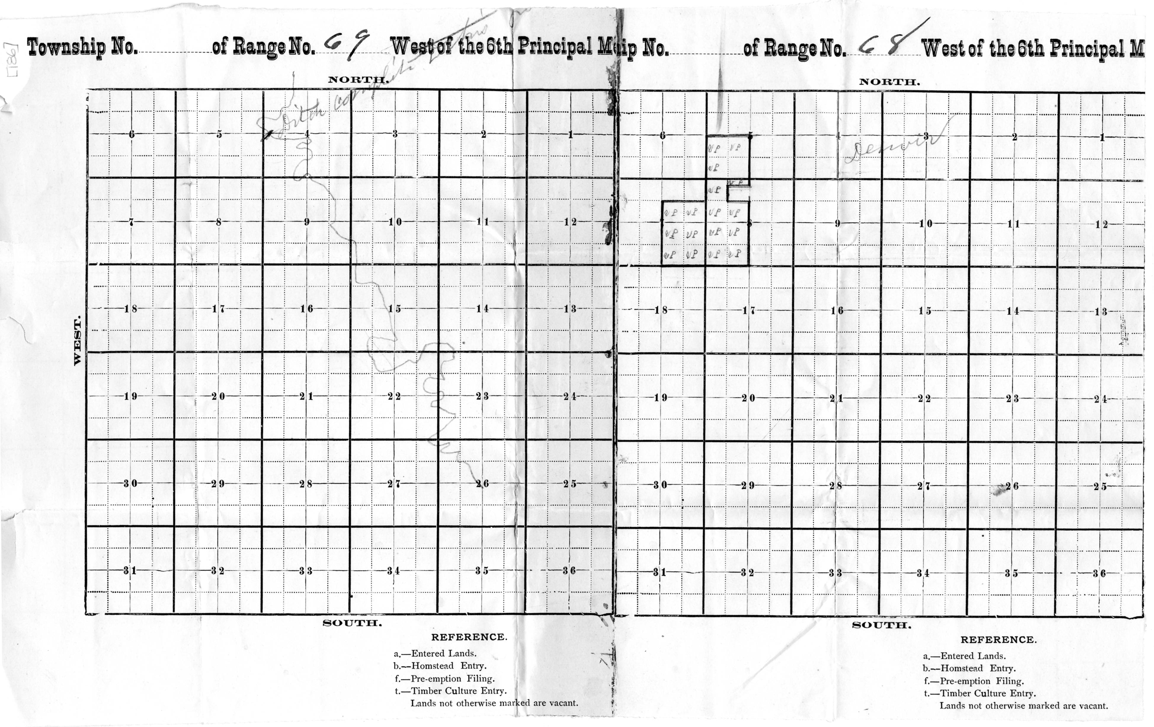
| Description | Map of the Villa Park property with hand drawn outline of the ditch for the property | ||||||||||||||||||||
| Title | Villa Park Map | ||||||||||||||||||||
| Institution |
|
||||||||||||||||||||
| Subject | |||||||||||||||||||||
| Source |
Plains to Peaks Collective |
||||||||||||||||||||
| Author |
Powers, E.H |
||||||||||||||||||||
| Permission (Reusing this file) |
Copyright determination made by Denver Public Library (Q69470198) using RightsStatements.org
|
||||||||||||||||||||
| Partnership |
|
||||||||||||||||||||


File history
Click on a date/time to view the file as it appeared at that time.
| Date/Time | Thumbnail | Dimensions | User | Comment | |
|---|---|---|---|---|---|
| current | 12:42, 18 December 2020 | | 3,895 × 2,454 (880 KB) | DPLA bot (talk | contribs) | Uploading DPLA ID 649bc9aa2905dd36fa5e0401f4902479 |
You cannot overwrite this file.
File usage on Commons
There are no pages that use this file.