File:Zaragoza 2008-Pyrenees topographic map-es.jpg
Jump to navigation
Jump to search

Size of this preview: 800 × 600 pixels. Other resolutions: 320 × 240 pixels | 640 × 480 pixels | 1,024 × 768 pixels | 1,280 × 960 pixels | 2,560 × 1,920 pixels | 3,264 × 2,448 pixels.
Original file (3,264 × 2,448 pixels, file size: 2.02 MB, MIME type: image/jpeg)
Captions
Captions
Add a one-line explanation of what this file represents
| Description |
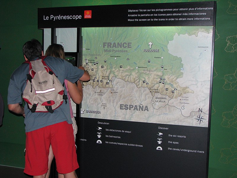
English: Topographic map of the Pyrenees mountains. Español: Mapa topográfico de los Pirineos Français : Carte topographique des Pyrénées. |
| Date | (UTC) |
| Source | |
| Author |
|
| This is a retouched picture, which means that it has been digitally altered from its original version. Modifications: photography of a real-life usage. The original can be viewed here: Pyrenees topographic map-es.svg:
|
I, the copyright holder of this work, hereby publish it under the following licenses:
This file is licensed under the Creative Commons Attribution-Share Alike 2.5 Generic, 2.0 Generic and 1.0 Generic license.
- You are free:
- to share – to copy, distribute and transmit the work
- to remix – to adapt the work
- Under the following conditions:
- attribution – You must give appropriate credit, provide a link to the license, and indicate if changes were made. You may do so in any reasonable manner, but not in any way that suggests the licensor endorses you or your use.
- share alike – If you remix, transform, or build upon the material, you must distribute your contributions under the same or compatible license as the original.

|
Permission is granted to copy, distribute and/or modify this document under the terms of the GNU Free Documentation License, Version 1.2 or any later version published by the Free Software Foundation; with no Invariant Sections, no Front-Cover Texts, and no Back-Cover Texts. A copy of the license is included in the section entitled GNU Free Documentation License. |
| This file is licensed under the Creative Commons Attribution-Share Alike 3.0 Unported license. | ||
| ||
| This licensing tag was added to this file as part of the GFDL licensing update. |
You may select the license of your choice.
Original upload log
[edit]
This image is a derivative work of the following images:
- Image:Pyrenees_topographic_map-es.svg licensed with Cc-by-sa-2.5,2.0,1.0, GFDL
- 2007-08-13T12:09:46Z Jynus 3200x1900 (6191487 Bytes) [[Image:Crystal_xmag.png|28px|Pour agrandir l'image]] ''Detailed map of lar
Uploaded with derivativeFX
File history
Click on a date/time to view the file as it appeared at that time.
| Date/Time | Thumbnail | Dimensions | User | Comment | |
|---|---|---|---|---|---|
| current | 18:39, 12 August 2008 | | 3,264 × 2,448 (2.02 MB) | Yug (talk | contribs) | {{Information |Description={{en|Topographic map in Castilian of the Pyrenees mountains.}} {{es|Mapa topográfico de los Pirineos}} {{fr|Carte topographique des Pyrénées en castillan.}} {{be|[[:be:Т� |
You cannot overwrite this file.
File usage on Commons
There are no pages that use this file.
File usage on other wikis
The following other wikis use this file:
- Usage on fr.wikipedia.org