File talk:Bassins hydrographiques (UE).svg
Jump to navigation
Jump to search
Comparison with alternative maps
[edit]
|

|

|
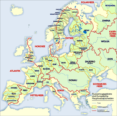
These French, German and Dutch maps don’t agree for watersheds in Italy, Greece, Scotland, Denmark and Sweden where there are no major rivers.
Also, it doesn’t seem to make sense to restrict the map to EU countries, because it’s about natural geography (or even geology), not political geography. It would help to label the seas drained into and the river labels could be larger. I think the ones on the right is better, but they’re only available as PNG bitmaps, whereas this one is a SVG file. — Christoph Päper 17:49, 4 February 2016 (UTC)